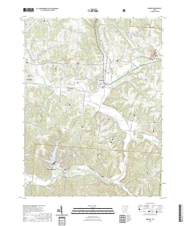
2023 Map of Bremen
USGS Topo · Published 2023About this map
Bremen serves as a central hub in this corner of Fairfield County, where the valley of Little Rush Creek meets a network of country roads. The landscape transition is evident as the terrain shifts toward the southern hills, marked by the planned community of Hide-A-Way Hills. This area is defined by a series of recreational lakes, including Lake of Four Seasons, Lake Tomahawk, and Lake Eagle Claw, which dominate the southwestern portion of the sheet near Swartz Mill.
Find a feature on this map
126 named features on this map. Tap any name to fly to it.
Don’t see what you’re looking for? This feature index may not catch every label — zoom into the map to look around manually.
Map Details
Editions of this 2023 Bremen Map
This is the sole edition of this map. No revisions or reprints were ever made.
Other maps of this area

1907 · Logan
USGS Topo · 1:62,500

1907 · Lancaster
USGS Topo · 1:62,500

1907 · Thurston
USGS Topo · 1:62,500

1909 · Thornville
USGS Topo · 1:62,500

1909 · Lancaster
USGS Topo · 1:62,500

1909 · Logan
USGS Topo · 1:62,500

1909 · Thurston
USGS Topo · 1:62,500

1947 · Columbus
USGS Topo · 1:250,000

1961 · Columbus
USGS Topo · 1:250,000

1961 · Rushville
USGS Topo · 1:24,000