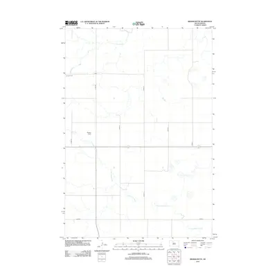
2012 Map of Brewer Butte
USGS Topo · Published 2012About this map
Our Savior Cem stands as a quiet focal point in this portion of the Rock Creek District, situated just west of the section line near CO Hwy-3b. The landscape is defined by the winding course of the Little Moreau River as it meanders through the southern half of the quadrangle, while High Bank Cr drains the northern reaches. The area's topography is marked by the distinct rise of Brewer Butte, a prominent landmark in an otherwise open prairie environment organized by a regular grid of county roads. These routes, including Co HWY-3i and Co HWY-3j, trace the section lines that have governed the settlement and ranching patterns of Corson County for generations. This 2012 survey captures the enduring rural character of the region, where the intersection of watercourses and high ground like the butte continue to shape the local geography.
Find a feature on this map
12 named features on this map. Tap any name to fly to it.
Don’t see what you’re looking for? This feature index may not catch every label — zoom into the map to look around manually.
Map Details
Editions of this 2012 Brewer Butte Map
This is the sole edition of this map. No revisions or reprints were ever made.
Other maps of this area

1953 · McIntosh
USGS Topo · 1:250,000

1956 · Miscol SW
USGS Topo · 1:24,000

1956 · Black Horse SE
USGS Topo · 1:24,000

1956 · Miscol SE
USGS Topo · 1:24,000

1958 · McIntosh
USGS Topo · 1:250,000

1978 · Brewer Butte
USGS Topo · 1:24,000

1978 · Timber Lake
USGS Topo · 1:24,000

1978 · Peach Lake
USGS Topo · 1:24,000

1978 · Little Moreau Lake
USGS Topo · 1:24,000

1978 · Livermant Lake
USGS Topo · 1:24,000