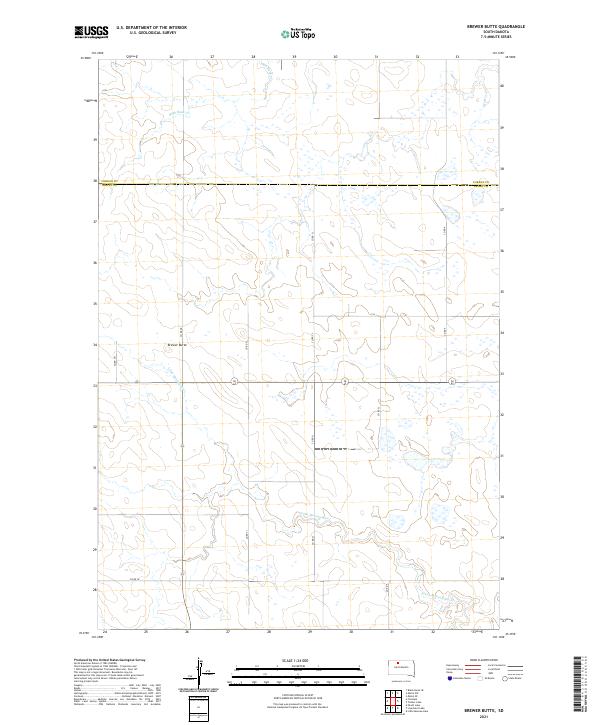
2021 Map of Brewer Butte
USGS Topo · Published 2021About this map
Brewer Butte stands as a prominent landmark in this prairie landscape along the border of Corson and Dewey counties. The area is defined by the winding course of the Little Moreau River in the south and the seasonal drainage of High Bank Creek to the north. This modern survey illustrates a sparse ranching and grazing environment, where the land is organized by the Public Land Survey System across several townships, including t17n r23e and t18n r24e. A network of rural section-line roads, such as Co Rd 3I and Co Rd 4, provides access across the drainage divides. The lack of concentrated settlements highlights the open, rural character of the South Dakota plains, where geography is dominated by subtle elevation changes and natural watercourses.
Find a feature on this map
18 named features on this map. Tap any name to fly to it.
Don’t see what you’re looking for? This feature index may not catch every label — zoom into the map to look around manually.
Map Details
Editions of this 2021 Brewer Butte Map
This is the sole edition of this map. No revisions or reprints were ever made.
Other maps of this area

1953 · McIntosh
USGS Topo · 1:250,000

1956 · Miscol SW
USGS Topo · 1:24,000

1956 · Black Horse SE
USGS Topo · 1:24,000

1956 · Miscol SE
USGS Topo · 1:24,000

1958 · McIntosh
USGS Topo · 1:250,000

1978 · Brewer Butte
USGS Topo · 1:24,000

1978 · Timber Lake
USGS Topo · 1:24,000

1978 · Peach Lake
USGS Topo · 1:24,000

1978 · Little Moreau Lake
USGS Topo · 1:24,000

1978 · Livermant Lake
USGS Topo · 1:24,000