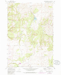
1969 Map of Brewer Reservoir
USGS Topo · Published 1985About this map
Crooked River National Grassland dominates the southwestern portion of this Oregon landscape, where the high desert terrain transitions into the distinct ridges of the Baldwin Hills. The 1969 field-checked data reveals a remote ranching and grazing environment defined by isolated water sources and livestock infrastructure, including several Springs and specialized features like Morrow Well and a Drill Hole. The northern reaches are marked by the Hay Creek Ranch and the namesake Brewer Reservoir, which captures flow from Hay Creek as it winds through the topographic breaks.
Find a feature on this map
24 named features on this map. Tap any name to fly to it.
Don’t see what you’re looking for? This feature index may not catch every label — zoom into the map to look around manually.
Map Details
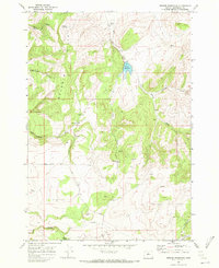
Editions of this 1969 Brewer Reservoir Map
2 editions found
Other maps of this area

1926 · Bend
USGS Topo · 1:125,000

1928 · Madras
USGS Topo · 1:125,000

1929 · Bend
USGS Topo · 1:125,000

1931 · Madras
USGS Topo · 1:125,000

1955 · Bend
USGS Topo · 1:250,000

1957 · Bend
USGS Topo · 1:250,000

1958 · Bend
USGS Topo · 1:250,000
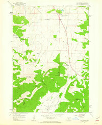
1962 · Gray Butte
USGS Topo · 1:24,000

1962 · Prineville
USGS Topo · 1:62,500
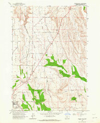
1963 · Madras East
USGS Topo · 1:24,000