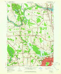
1957 Map of Brewerton
USGS Topo · Published 1965About this map
The Oneida River and the Erie Canal define the northern corridor of this landscape, meeting at the strategic Brewerton crossing. In the mid-1950s, this area transition reflected both a legacy of water-based transport and the emerging automotive era, evidenced by the Penn-Can Highway cutting through the eastern portion of the map. South of the river, the township of Clay exhibits a mix of rural homesteads and early suburban clusters, particularly around North Syracuse, where a dense grid of streets like Chestnut St and Fergerson Ave stands in contrast to the expansive Cicero Swamp. Grounded details for local researchers include several neighborhood landmarks such as Morgan Ch, the Pine Plains Cem, and the Hayes Airfield. The map also captures the hydraulic engineering of the era, from the Anthony Cut to Lock 23 and the Schroeppel Bridge.
Find a feature on this map
81 named features on this map. Tap any name to fly to it.
Don’t see what you’re looking for? This feature index may not catch every label — zoom into the map to look around manually.
Map Details
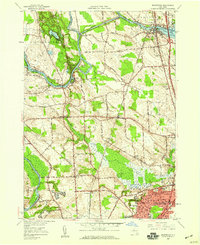
Editions of this 1957 Brewerton Map
2 editions found
Other maps of this area

1895 · Syracuse
USGS Topo · 1:62,500

1898 · Syracuse
USGS Topo · 1:62,500

1900 · Baldwinsville
USGS Topo · 1:62,500

1900 · Fulton
USGS Topo · 1:62,500

1905 · Mexico
USGS Topo · 1:62,500

1938 · Syracuse East
USGS Topo · 1:24,000

1939 · Syracuse West
USGS Topo · 1:24,000

1940 · Brewerton
USGS Topo · 1:24,000

1940 · Cicero
USGS Topo · 1:24,000
1943 · Syracuse East
USGS Topo · 1:31,680