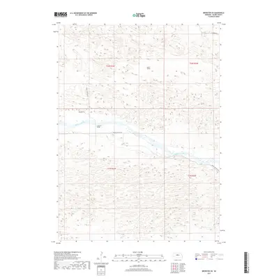
2017 Map of Brewster SW
USGS Topo · Published 2017About this map
Middle Loup River winds through the heart of this Blaine County landscape, defining the topography of the central corridor. The river valley is flanked by complex dune formations, a characteristic of the Nebraska Sandhills, where the elevation changes are subtle but constant across the quadrangle. In the northwestern portion of the sheet, Edith Valley represents a distinct low-lying area within this undulating terrain.
Find a feature on this map
11 named features on this map. Tap any name to fly to it.
Don’t see what you’re looking for? This feature index may not catch every label — zoom into the map to look around manually.
Map Details
Editions of this 2017 Brewster SW Map
This is the sole edition of this map. No revisions or reprints were ever made.
Other maps of this area

1948 · Linscott
USGS Topo · 1:62,500

1950 · Linscott
USGS Topo · 1:62,500

1951 · Dunning
USGS Topo · 1:62,500

1951 · Anselmo NE
USGS Topo · 1:24,000

1951 · Anselmo NW
USGS Topo · 1:24,000

1952 · Brewster
USGS Topo · 1:24,000

1952 · Brewster SE
USGS Topo · 1:24,000

1952 · Brewster SW
USGS Topo · 1:24,000

1952 · Brewster NW
USGS Topo · 1:24,000

1954 · North Platte
USGS Topo · 1:250,000