
1955 Map of Bricelyn
USGS Topo · Published 1956About this map
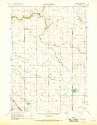
Bricelyn and the surrounding townships of Barber, Walnut Lake, and Seely define this southern Minnesota landscape in the mid-1950s. The region is marked by its agricultural drainage and reclaimed land, most notably the Oza Tanka Lakebed, which illustrates the extensive transformation of the local hydrology for farming. Along the northern edge, Walnut Lake and South Walnut Lake remain prominent features, feeding into Brush Creek.
Find a feature on this map
36 named features on this map. Tap any name to fly to it.
Don’t see what you’re looking for? This feature index may not catch every label — zoom into the map to look around manually.
Map Details
Editions of this 1955 Bricelyn Map
This is the sole edition of this map. No revisions or reprints were ever made.
Other maps of this area

1954 · Fairmont
USGS Topo · 1:250,000

1954 · Mason City
USGS Topo · 1:250,000

1955 · Wells
USGS Topo · 1:62,500

1957 · Mason City
USGS Topo · 1:250,000

1958 · Mason City
USGS Topo · 1:250,000

1958 · Fairmont
USGS Topo · 1:250,000

1967 · Minnesota Lake
USGS Topo · 1:24,000

1967 · Elmore
USGS Topo · 1:24,000
1967 · Matawan
USGS Topo · 1:24,000
1967 · Easton
USGS Topo · 1:24,000