
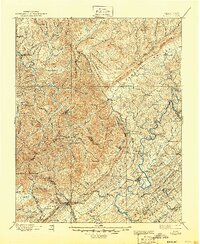
1896 Map of Briceville
USGS Topo · Published 1896About this map
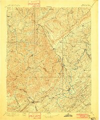
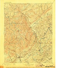
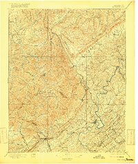
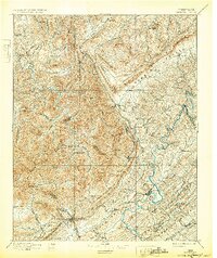
The Clinch River carves a winding path through the heart of East Tennessee's ridge and valley country, serving as a primary landmark in this late 19th-century survey. The landscape is defined by the massive spine of Cumberland Mountain and Walden Ridge, which dictate the placement of early settlements and the critical rail infrastructure of the era. Industrial centers like Coalfield and Briceville are already established, linked by the Knoxville and Ohio RR and the Southern RR as they navigate the gaps in the high ridges.
Find a feature on this map
125 named features on this map. Tap any name to fly to it.
Don’t see what you’re looking for? This feature index may not catch every label — zoom into the map to look around manually.
Map Details
Editions of this 1896 Briceville Map
6 editions found
Other maps of this area

1886 · Knoxville
USGS Topo · 1:125,000

1886 · Cumberland Gap
USGS Topo · 1:125,000

1887 · Kingston
USGS Topo · 1:125,000

1888 · Cumberland Gap
USGS Topo · 1:125,000

1890 · Williamsburg
USGS Topo · 1:125,000

1891 · Cumberland Gap
USGS Topo · 1:125,000

1891 · Kingston
USGS Topo · 1:125,000

1892 · Knoxville
USGS Topo · 1:125,000

1893 · Briceville
USGS Topo · 1:125,000

1893 · Kingston
USGS Topo · 1:125,000