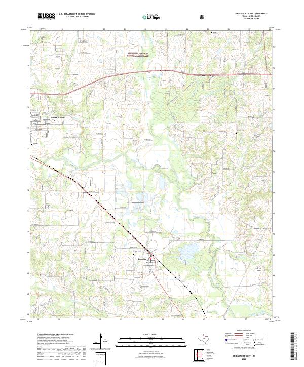
2022 Map of Bridgeport East
USGS Topo · Published 2022About this map
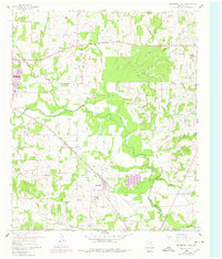
Lyndon B. Johnson National Grassland dominates the northern reaches of this Wise County landscape, protecting a complex network of creeks that feed into the West Fork Trinity River. The river winds through the central and southern portions of the map, carving a wide valley flanked by numerous family-named tributaries like Rosebud Br, Waggoner Br, and Briar Br. This 2022 survey captures the eastern periphery of Bridgeport and the settlement of Paradise, illustrating the modern road network where local routes like Co RD 3250 and PR 3249 navigate the uneven terrain.
Find a feature on this map
115 named features on this map. Tap any name to fly to it.
Don’t see what you’re looking for? This feature index may not catch every label — zoom into the map to look around manually.
Map Details
Editions of this 2022 Bridgeport East Map
This is the sole edition of this map. No revisions or reprints were ever made.
Historical Maps of Paradise Through Time
17 maps found
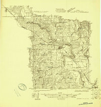
1924 Sunset 4-d
Wise County, TX
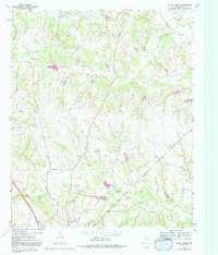
1960 Bluett
Wise County, TX
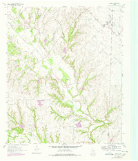
1960 Boonsville
Wise County, TX
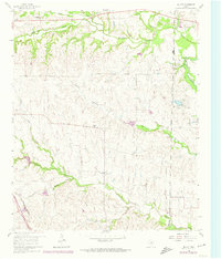
1960 Bridgeport East
Wise County, TX
1960 Bridgeport West
Wise County, TX
1960 Cottondale
Wise County, TX
1961 Greenwood
Wise County, TX
1961 Pecan Creek
Wise County, TX
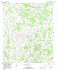
1961 Slidell
Wise County, TX
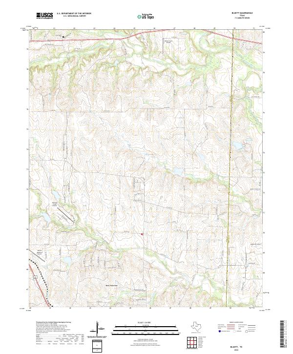
2022 Bluett
Wise County, TX
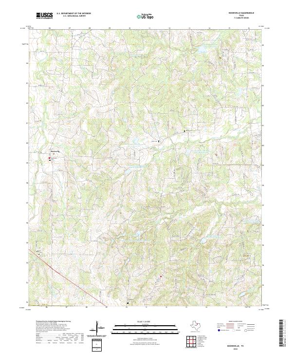
2022 Boonsville
Wise County, TX
2022 Bridgeport East
Wise County, TX
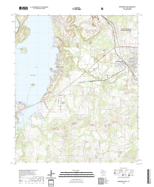
2022 Bridgeport West
Wise County, TX
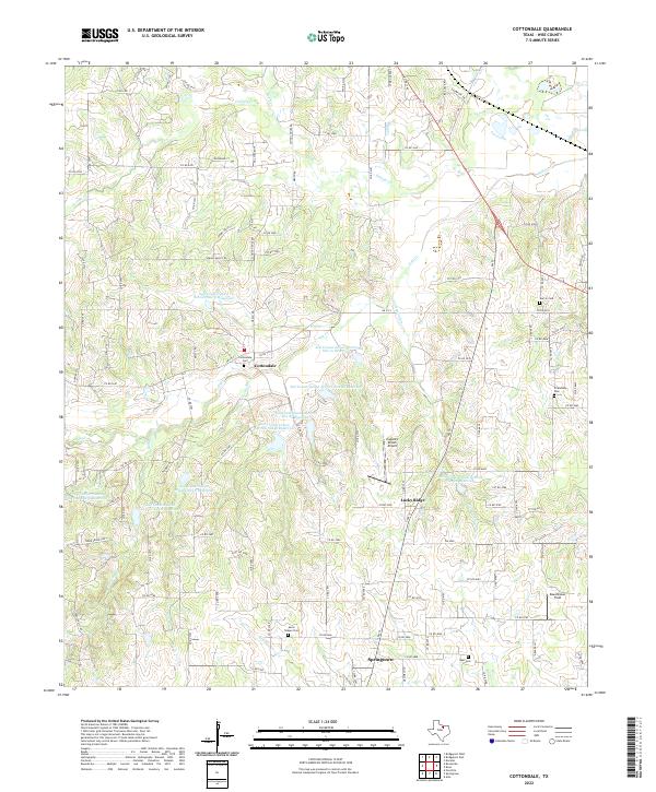
2022 Cottondale
Wise County, TX
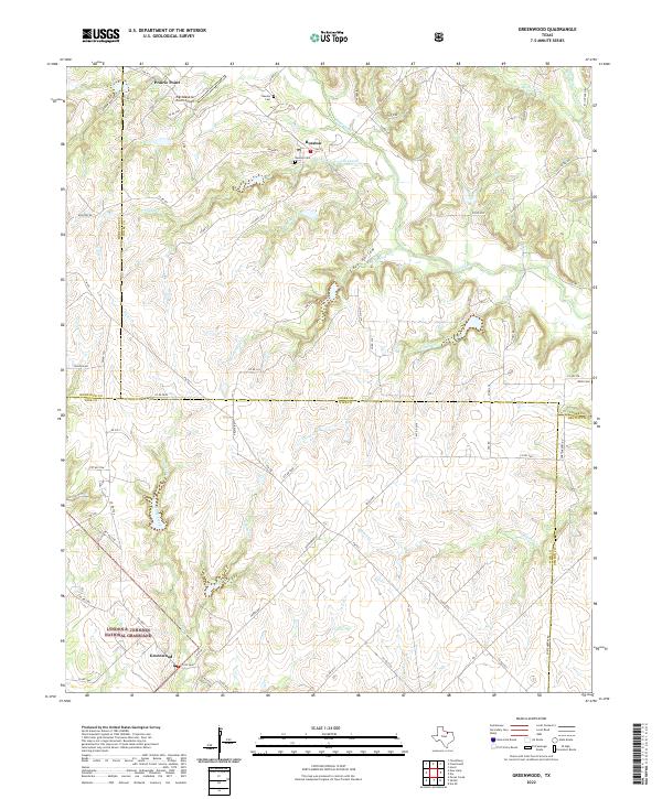
2022 Greenwood
Wise County, TX
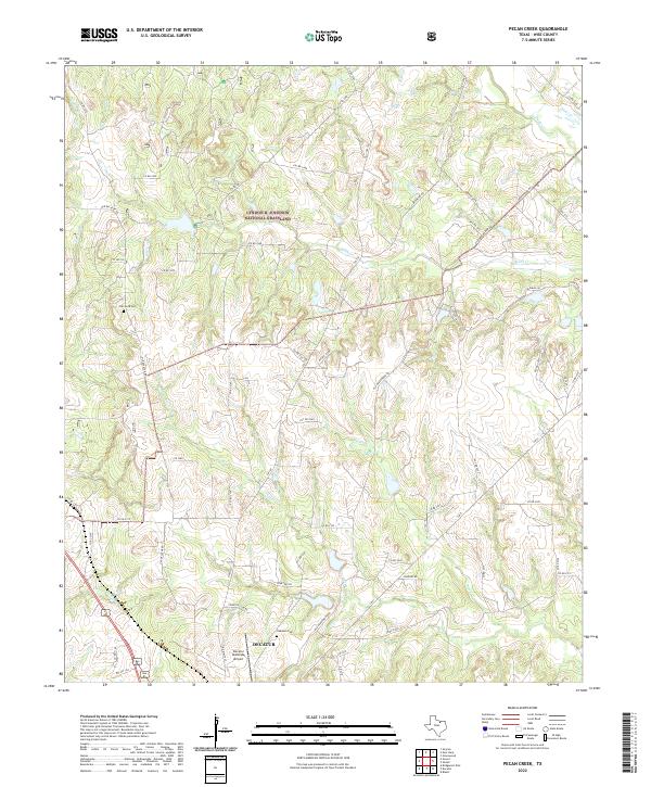
2022 Pecan Creek
Wise County, TX
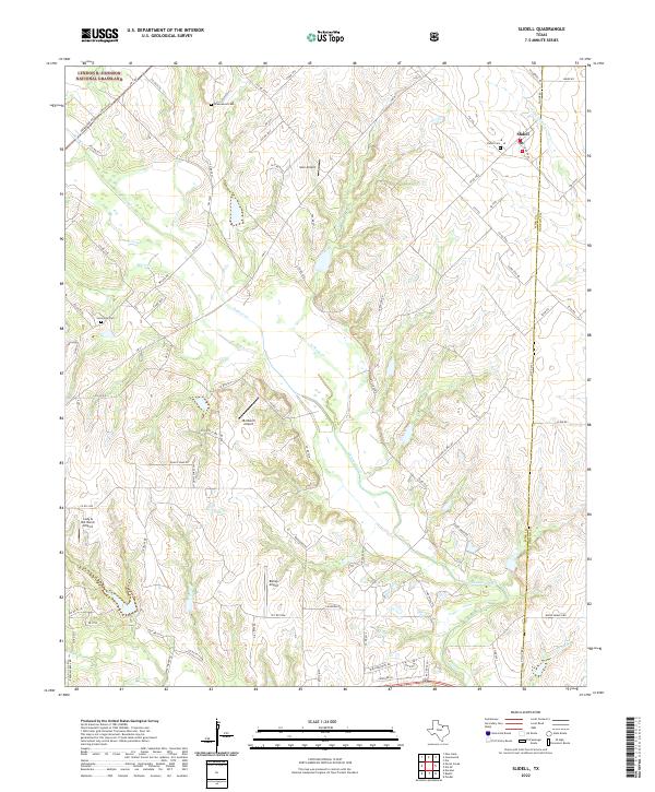
2022 Slidell
Wise County, TX