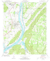
1945 Map of Bridgeport
USGS Topo · Published 1974About this map
Guntersville Lake dominates the center of this 1945 landscape, marking a period of significant change as the Tennessee River was harnessed by the Tennessee Valley Authority. The map captures the industrial and agricultural interface near Bridgeport, where the N C & St L railroad and the Lee Highway intersect. Evidence of older river crossings persists, most notably at the Reese Ferry site.
Find a feature on this map
54 named features on this map. Tap any name to fly to it.
Don’t see what you’re looking for? This feature index may not catch every label — zoom into the map to look around manually.
Map Details
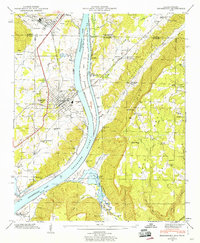
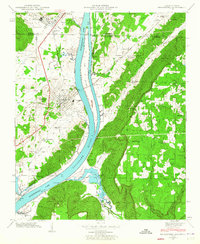
Editions of this 1945 Bridgeport Map
3 editions found
Other maps of this area

1886 · Stevenson
USGS Topo · 1:125,000

1892 · Stevenson
USGS Topo · 1:125,000

1895 · Stevenson
USGS Topo · 1:125,000

1895 · Sewanee
USGS Topo · 1:125,000

1936 · Trenton
USGS Topo · 1:24,000

1936 · Shellmound
USGS Topo · 1:24,000

1936 · Orme
USGS Topo · 1:24,000

1936 · Bridgeport
USGS Topo · 1:24,000

1936 · Flat Rock
USGS Topo · 1:24,000

1936 · Stevenson
USGS Topo · 1:24,000