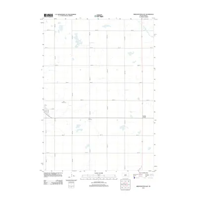
2012 Map of Bridgewater East
USGS Topo · Published 2012About this map
Saint Stephens Cem and Pleasant Prairie Cem serve as quiet landmarks within this rural McCook County landscape, located east of the main town center. The area is defined by a rigid section-line road grid, including 438th Ave and 264th St, which organize the agricultural terrain. A small settlement cluster appears at Stanley Corner near the eastern boundary, while the W Fork Vermillion River meanders through the northeastern corner, providing a natural break in the geometric land patterns. This 2012 survey illustrates the enduring rural character of the region, where local landmarks like Ash Ave and 1st St mark the edges of residential development. The map is a precise record of late-twentieth-century rural infrastructure, showing the relationship between family burial grounds and the transport network.
Find a feature on this map
21 named features on this map. Tap any name to fly to it.
Don’t see what you’re looking for? This feature index may not catch every label — zoom into the map to look around manually.
Map Details
Editions of this 2012 Bridgewater East Map
This is the sole edition of this map. No revisions or reprints were ever made.
Other maps of this area

1898 · Olivet
USGS Topo · 1:125,000

1898 · Parker
USGS Topo · 1:125,000

1899 · Alexandria
USGS Topo · 1:125,000

1955 · Sioux Falls
USGS Topo · 1:250,000

1958 · Sioux Falls
USGS Topo · 1:250,000

1964 · Canistota
USGS Topo · 1:24,000

1964 · Salem NE
USGS Topo · 1:24,000

1964 · Salem
USGS Topo · 1:24,000

1964 · Bridgewater East
USGS Topo · 1:24,000

1970 · Clayton NE
USGS Topo · 1:24,000
Featured Places
- Bridgewater, SD
- Emery Township, SD
- Meadow View Hutterite Colony, SD
- Stanley Corner, SD
- Union Township, SD