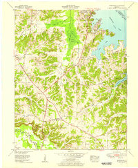
1955 Map of Briensburg
USGS Topo · Published 1956About this map
The eastern shore of Kentucky Lake and the recreational developments at Kentucky Dam Village State Park anchor this 1950s survey of Marshall County. The landscape is a study in water management, featuring the Little John Canal, the Slice Drainage Canal, and the expansive Cypress Swamp. These engineering efforts transformed the bottomlands near the East Fork of the Clarks River, allowing for the growth of crossroads like Briensburg and Draffenville.
Find a feature on this map
53 named features on this map. Tap any name to fly to it.
Don’t see what you’re looking for? This feature index may not catch every label — zoom into the map to look around manually.
Map Details
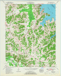
Editions of this 1955 Briensburg Map
2 editions found
Other maps of this area

1928 · Eddyville
USGS Topo · 1:48,000

1929 · Smithland
USGS Topo · 1:62,500

1931 · Eddyville
USGS Topo · 1:62,500

1936 · Oak Level
USGS Topo · 1:24,000

1936 · Elva
USGS Topo · 1:24,000

1936 · Eddyville
USGS Topo · 1:48,000

1936 · Grand Rivers
USGS Topo · 1:24,000

1936 · Hardin
USGS Topo · 1:24,000

1936 · Smithland
USGS Topo · 1:48,000

1936 · Hiatt
USGS Topo · 1:24,000