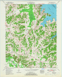
1955 Map of Briensburg
USGS Topo · Published 1966About this map
The Kentucky Lake shoreline dominates the eastern edge of this mid-1950s survey, illustrating the landscape just years after the completion of the massive Kentucky Dam. The interior reveals a dense network of rural settlements and family landmarks such as Palma, Draffenville, and Briensburg, all connected by the Jefferson Davis Highway. This era represents a significant transformation for Marshall County, where recreation areas like the Kentucky Dam Village State Park began to emerge alongside traditional farmsteads and old country churches like Lone Valley Ch.
Find a feature on this map
48 named features on this map. Tap any name to fly to it.
Don’t see what you’re looking for? This feature index may not catch every label — zoom into the map to look around manually.
Map Details
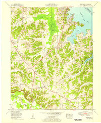
Editions of this 1955 Briensburg Map
2 editions found
Other maps of this area

1928 · Eddyville
USGS Topo · 1:48,000

1929 · Smithland
USGS Topo · 1:62,500

1931 · Eddyville
USGS Topo · 1:62,500

1936 · Oak Level
USGS Topo · 1:24,000

1936 · Elva
USGS Topo · 1:24,000

1936 · Eddyville
USGS Topo · 1:48,000

1936 · Grand Rivers
USGS Topo · 1:24,000

1936 · Hardin
USGS Topo · 1:24,000

1936 · Smithland
USGS Topo · 1:48,000

1936 · Hiatt
USGS Topo · 1:24,000