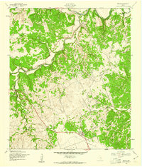
1958 Map of Briggs
USGS Topo · Published 1961About this map
Oakalla and Briggs anchor this 1950s landscape where the topography of the Edwards Plateau begins to drop toward the winding Lampasas River. The settlement pattern follows the drainages, with small communities established near the intersection of seasonal waterways and early road networks. The northern portion of the sheet is dominated by the river's meandering path and the deeply incised terrain of Toby Hollow and Williams Hollow.
Find a feature on this map
11 named features on this map. Tap any name to fly to it.
Don’t see what you’re looking for? This feature index may not catch every label — zoom into the map to look around manually.
Map Details
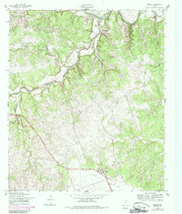
Editions of this 1958 Briggs Map
2 editions found
Other maps of this area

1887 · Lampasas
USGS Topo · 1:125,000

1887 · Burnet
USGS Topo · 1:125,000

1893 · Georgetown
USGS Topo · 1:125,000

1893 · Burnet
USGS Topo · 1:125,000

1894 · Lampasas
USGS Topo · 1:125,000

1894 · Gatesville
USGS Topo · 1:125,000

1903 · Burnet
USGS Topo · 1:125,000

1909 · Burnet
USGS Topo · 1:125,000

1947 · Fort Hood
USGS Topo · 1:62,500

1947 · McMillan Mountains
USGS Topo · 1:24,000