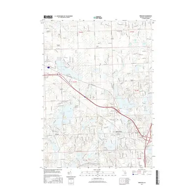
2017 Map of Brighton
USGS Topo · Published 2017About this map
Brighton serves as the primary hub of this Livingston County landscape, situated amid a dense network of glacial lakes and drainage basins. The settlement pattern shows significant development around water bodies like Woodland Lake and Lake Chemung, where residential roads now wrap tightly around the shorelines. Historical burial sites including the Old Brighton Village Cem and Calvary Cem are located near the town center, while outlying cemeteries such as Kellogg Cem and Euler Cem mark earlier rural intersections.
Find a feature on this map
270 named features on this map. Tap any name to fly to it.
Don’t see what you’re looking for? This feature index may not catch every label — zoom into the map to look around manually.
Map Details
Editions of this 2017 Brighton Map
This is the sole edition of this map. No revisions or reprints were ever made.
Other maps of this area

1902 · South Lyon
USGS Topo · 1:62,500

1902 · Dexter
USGS Topo · 1:62,500

1904 · Ann Arbor
USGS Topo · 1:125,000

1906 · Dexter
USGS Topo · 1:62,500

1906 · South Lyon
USGS Topo · 1:62,500

1907 · Howell
USGS Topo · 1:62,500

1908 · Ann Arbor
USGS Topo · 1:125,000

1909 · Howell
USGS Topo · 1:62,500

1909 · Milford
USGS Topo · 1:62,500

1954 · Detroit
USGS Topo · 1:250,000
Featured Places
- Hamburg Township, MI
- Genoa Charter Township, MI
- Green Oak Charter Township, MI
- Brighton Charter Township, MI
- Hartland Township, MI