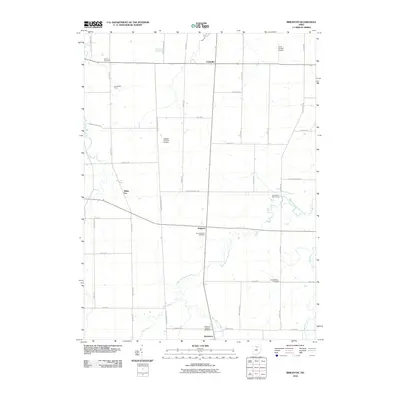
2010 Map of Brighton
USGS Topo · Published 2010About this map
Rochester and Brighton serve as the primary nodes of settlement in this part of Lorain County, positioned along a landscape defined by the winding course of the West Branch Black River. The area maintains a distinctly agricultural and rural residential character, with family-run operations like Engelhardt Farms and small private landing strips such as Kosik Private Airport and Double S Farms Airport punctuating the grid of country roads. Local history is anchored by several burial grounds, including Sherman Cemetery in the north and both the Old Brighton Cemetery and New Brighton Cemetery near the center of the sheet. The presence of Rochester Station suggests the historical importance of the rail corridor passing through the southern township, while the Echo Valley Golf Course indicates a transition toward recreational land use amidst the traditional farmsteads.
Find a feature on this map
39 named features on this map. Tap any name to fly to it.
Don’t see what you’re looking for? This feature index may not catch every label — zoom into the map to look around manually.
Map Details
Editions of this 2010 Brighton Map
This is the sole edition of this map. No revisions or reprints were ever made.
Other maps of this area

1901 · Oberlin
USGS Topo · 1:62,500

1903 · Vermilion
USGS Topo · 1:62,500

1903 · Oberlin
USGS Topo · 1:62,500

1904 · Wellington
USGS Topo · 1:62,500

1906 · Wellington
USGS Topo · 1:62,500

1908 · New London
USGS Topo · 1:62,500

1956 · Toledo
USGS Topo · 1:250,000

1959 · Berlin Heights
USGS Topo · 1:24,000

1959 · Kipton
USGS Topo · 1:24,000

1960 · Oberlin
USGS Topo · 1:24,000