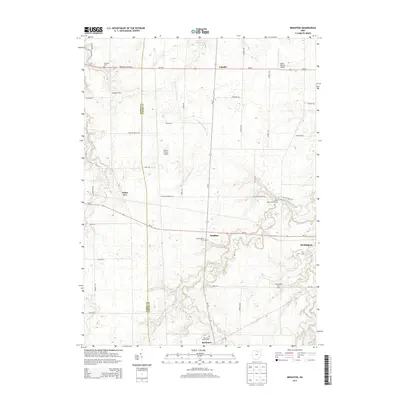
2013 Map of Brighton
USGS Topo · Published 2013About this map
Brighton sits at the geographic center of this Lorain County landscape, where agriculture and river systems converge. The town is flanked by a series of burial grounds including New Brighton Cem and Old Brighton Cem, providing important reference points for family historians. The terrain is defined by the winding paths of the E Fork Vermilion River and the W Br Black River, which cut through the rural farmland. These waterways were central to the early development of settlements like Rochester and Camden. Small-scale aviation markers like Double S Farms Airport and Kosik Private Airport reflect the modern utility of these open spaces. Significant agricultural holdings such as Engelhardt Farms are clearly delineated alongside recreational areas like the Echo Valley Golf Course, illustrating the region's balance of industry and community life.
Find a feature on this map
42 named features on this map. Tap any name to fly to it.
Don’t see what you’re looking for? This feature index may not catch every label — zoom into the map to look around manually.
Map Details
Editions of this 2013 Brighton Map
This is the sole edition of this map. No revisions or reprints were ever made.
Other maps of this area

1901 · Oberlin
USGS Topo · 1:62,500

1903 · Vermilion
USGS Topo · 1:62,500

1903 · Oberlin
USGS Topo · 1:62,500

1904 · Wellington
USGS Topo · 1:62,500

1906 · Wellington
USGS Topo · 1:62,500

1908 · New London
USGS Topo · 1:62,500

1956 · Toledo
USGS Topo · 1:250,000

1959 · Berlin Heights
USGS Topo · 1:24,000

1959 · Kipton
USGS Topo · 1:24,000

1960 · Oberlin
USGS Topo · 1:24,000