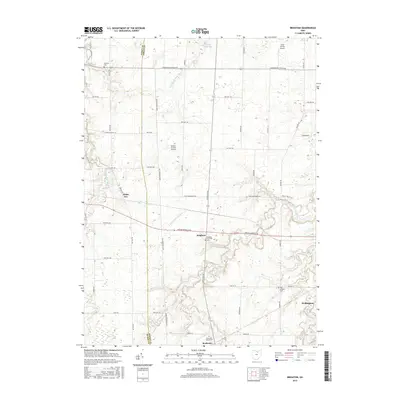
2016 Map of Brighton
USGS Topo · Published 2016About this map
The Vermilion River and its branches carve through the agricultural heart of Lorain County, defining the rural character of this region. The settlement of Brighton sits at the intersection of major routes like Medina-Norwalk Rd, while the village of Rochester marks the southern reach of the survey area. This 2016 landscape is dotted with small-scale aviation sites such as Kosik Private Airport and Double S Farms Airport, reflecting a modern layer of land use atop traditional farming townships. For genealogists and local historians, the map provides precise locations for several burying grounds, including the Old Brighton Cem and Rochester Station Cem. The boundary between Huron Co and Lorain Co runs along the western edge, where the small community of White Fox is situated. These details, alongside the meandering paths of Charlemont Creek and the West Branch Black River, illustrate the persistent intersection of natural drainage and human settlement.
Find a feature on this map
37 named features on this map. Tap any name to fly to it.
Don’t see what you’re looking for? This feature index may not catch every label — zoom into the map to look around manually.
Map Details
Editions of this 2016 Brighton Map
This is the sole edition of this map. No revisions or reprints were ever made.
Other maps of this area

1901 · Oberlin
USGS Topo · 1:62,500

1903 · Vermilion
USGS Topo · 1:62,500

1903 · Oberlin
USGS Topo · 1:62,500

1904 · Wellington
USGS Topo · 1:62,500

1906 · Wellington
USGS Topo · 1:62,500

1908 · New London
USGS Topo · 1:62,500

1956 · Toledo
USGS Topo · 1:250,000

1959 · Berlin Heights
USGS Topo · 1:24,000

1959 · Kipton
USGS Topo · 1:24,000

1960 · Oberlin
USGS Topo · 1:24,000