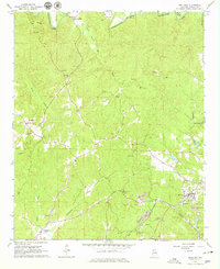
1967 Map of Brilliant
USGS Topo · Published 1979About this map
The Buttahatchee River carves through the northern portion of this Marion County landscape, anchoring a rural topography defined by small settlements and resource extraction. The community of Brilliant serves as a primary hub, situated near the St Louis San Francisco railroad line and surrounded by several Strip Mine operations and gravel pits that reflect the industrial activity of the late 1960s. To the west, the map details the localized centers of Pearces Mills and Yampertown (Twin).
Find a feature on this map
40 named features on this map. Tap any name to fly to it.
Don’t see what you’re looking for? This feature index may not catch every label — zoom into the map to look around manually.
Map Details
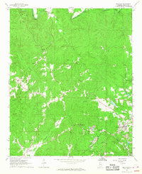
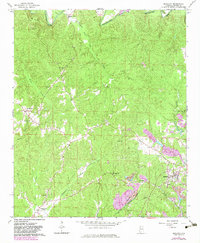
Editions of this 1967 Brilliant Map
3 editions found
Other maps of this area

1936 · South Of Hackleburg
USGS Topo · 1:24,000

1936 · Goddard
USGS Topo · 1:24,000

1953 · Birmingham
USGS Topo · 1:250,000

1956 · Birmingham
USGS Topo · 1:250,000

1956 · Gadsden
USGS Topo · 1:250,000

1957 · Birmingham
USGS Topo · 1:250,000

1958 · Gadsden
USGS Topo · 1:250,000
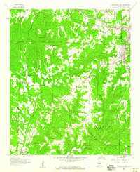
1958 · Haleyville West
USGS Topo · 1:24,000

1958 · Gold Mine
USGS Topo · 1:24,000

1960 · Gadsden
USGS Topo · 1:250,000