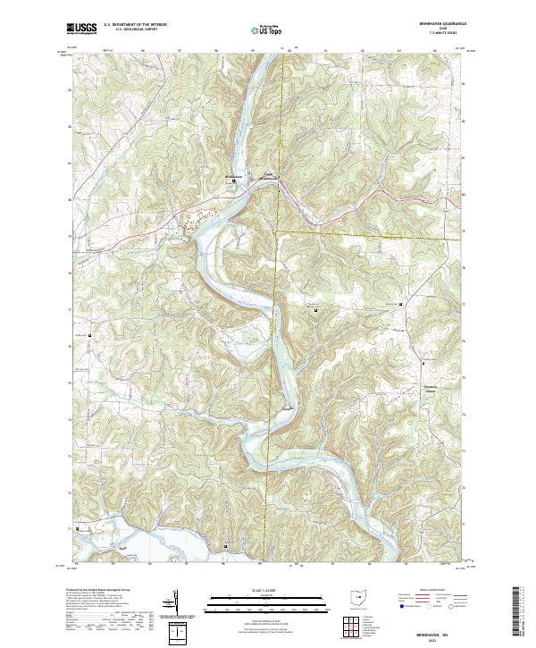
2023 Map of Brinkhaven
USGS Topo · Published 2023About this map
Brinkhaven and the adjacent settlement of Gann occupy a high-relief landscape where the Mohican River carves deep, winding paths through the hills of Knox County. This river system dominates the local geography, joined by smaller tributaries like East Branch Jelloway Creek and Flat Run. The terrain is characterized by prominent ridges such as Turkey Ridge and Yankee Ridge, which overlook agricultural valleys like Tager Valley.
Find a feature on this map
86 named features on this map. Tap any name to fly to it.
Don’t see what you’re looking for? This feature index may not catch every label — zoom into the map to look around manually.
Map Details
Editions of this 2023 Brinkhaven Map
This is the sole edition of this map. No revisions or reprints were ever made.
Other maps of this area

1912 · Loudonville
USGS Topo · 1:62,500

1912 · Gambier
USGS Topo · 1:62,500

1912 · Perrysville
USGS Topo · 1:62,500

1913 · Brinkhaven
USGS Topo · 1:62,500

1914 · Gambier
USGS Topo · 1:62,500

1914 · Loudonville
USGS Topo · 1:62,500

1915 · Brinkhaven
USGS Topo · 1:62,500

1915 · Perrysville
USGS Topo · 1:62,500

1943 · Gambier
USGS Topo · 1:62,500

1943 · Loudonville
USGS Topo · 1:62,500