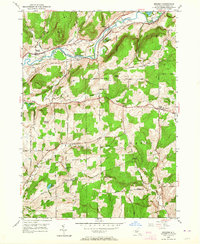
1949 Map of Brisben
USGS Topo · Published 1964About this map
The Chenango River valley serves as the primary corridor for settlement and transit in this late 1940s landscape, where the Delaware Lackawanna and Western railroad tracks run parallel to an Abandoned Canal. The topography is defined by prominent peaks like Harbor Hill and Bobell Hill, with rural life concentrated around small hubs such as Brisben and Coventry. Genealogists will find notable value in the local landmarks, including School No 13, the Little White Ch, and several burial grounds like White Cem. This era shows a network of named roads, including Hogsback Rd and Clark Road, weaving between agricultural plots and water features such as Borden Pond and Van Valkenburgh Pond, illustrating a well-established rural economy in Chenango County.
Find a feature on this map
29 named features on this map. Tap any name to fly to it.
Don’t see what you’re looking for? This feature index may not catch every label — zoom into the map to look around manually.
Map Details
Editions of this 1949 Brisben Map
2 editions found

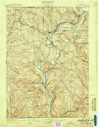
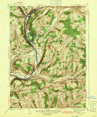
Other maps of this area

1902 · Coventry
USGS Topo · 1:62,500

1904 · Binghamton
USGS Topo · 1:62,500

1904 · Greene
USGS Topo · 1:62,500

1904 · Oxford
USGS Topo · 1:62,500
1905 · Nineveh
USGS Topo · 1:62,500

1935 · Chenango Forks
USGS Topo · 1:24,000
1942 · Chenango Forks
USGS Topo · 1:31,680

1948 · Greene
USGS Topo · 1:24,000
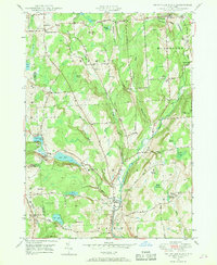
1948 · Smithville Flats
USGS Topo · 1:24,000

1948 · Binghamton
USGS Topo · 1:250,000