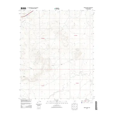
2013 Map of Briscoe Ranch
USGS Topo · Published 2013About this map
Briscoe Ranch serves as a central landmark within this high-plains landscape of eastern New Mexico. The terrain is defined by a network of seasonal watercourses, including Blanca Cr, Bluewater Cr, and Charco Cr, which carve through the high elevations. To the southwest, the prominent rise of Mesa Quemado overlooks the surrounding territory, illustrating the dramatic topography of Quay County. Scattered small settlements and points of interest such as Kilgore and Jose are connected by a grid of rural routes like Quay Road 55 and Quay Road AT. The map captures a moment in the early twenty-first century when the area remained primarily ranch land, with its drainage patterns flowing toward Garcia Cr and Paris Cr in the southern reaches of the quadrangle.
Find a feature on this map
16 named features on this map. Tap any name to fly to it.
Don’t see what you’re looking for? This feature index may not catch every label — zoom into the map to look around manually.
Map Details
Editions of this 2013 Briscoe Ranch Map
This is the sole edition of this map. No revisions or reprints were ever made.
Other maps of this area

1930 · Tucumcari
USGS Topo · 1:125,000

1954 · Tucumcari
USGS Topo · 1:250,000

1954 · Clovis
USGS Topo · 1:250,000

1958 · Clovis
USGS Topo · 1:250,000

1958 · Tucumcari
USGS Topo · 1:250,000

1967 · Liberty Mesa
USGS Topo · 1:24,000

1967 · Tucumcari
USGS Topo · 1:24,000
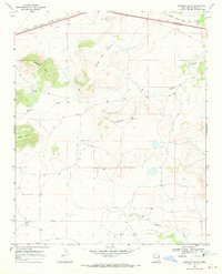
1968 · Quemado Hills
USGS Topo · 1:24,000

1968 · Bulldog Mesa
USGS Topo · 1:24,000
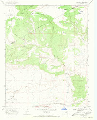
1968 · Cow Canyon
USGS Topo · 1:24,000