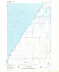
1963 Map of Bristol Bay A-2
USGS Topo · Published 1972About this map
Bristol Bay dominates the western shoreline of this 1960s survey, where the saltwater meets a complex network of coastal wetlands and low-lying tundra. The landscape is defined by the expansive Tidal Flat and the sheltered waters of Hook Lagoon to the north, while Reindeer Creek winds through the southern reaches of the quadrangle. A series of curious, short-hand labels including Dubb, Bill, Hook, Quirt, and Abel are scattered along the coastal margins, likely marking specific landing sites, local landmarks, or survey points utilized by the U.S. Geological Survey during their 1957 aerial photography and 1963 field annotations. This map provides a look at a largely unsurveyed wilderness, noting that land lines represent predetermined locations from the Bureau of Land Management rather than marked boundaries on the ground.
Find a feature on this map
20 named features on this map. Tap any name to fly to it.
Don’t see what you’re looking for? This feature index may not catch every label — zoom into the map to look around manually.
Map Details
Editions of this 1963 Bristol Bay A-2 Map
2 editions found
Other maps of this area

1951 · Bristol Bay
USGS Topo · 1:250,000

1963 · Bristol Bay
USGS Topo · 1:250,000
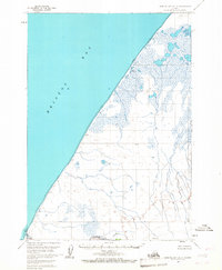
1963 · Bristol Bay A-2
USGS Topo · 1:63,360

1963 · Chignik D-3
USGS Topo · 1:63,360

1963 · Bristol Bay A-1
USGS Topo · 1:63,360

1963 · Chignik
USGS Topo · 1:250,000

1963 · Chignik D-1
USGS Topo · 1:63,360

1963 · Chignik D-2
USGS Topo · 1:63,360
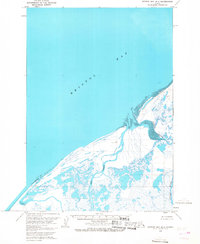
1963 · Bristol Bay B-1
USGS Topo · 1:63,360
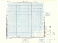
1967 · Bristol Bay
USGS Topo · 1:250,000