
1963 Map of Bristol Bay
USGS Topo · Published 1967About this map
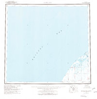
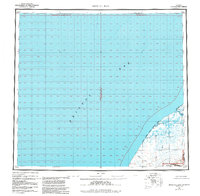
Bristol Bay dominates this mid-1960s hydrographic and topographic study, revealing the coastal interface of the Alaska Peninsula where land and water blur into a series of marshes and tidal flats. The coastline is defined by the sweeping Cinder River and Mud Creek systems, which drain through low-lying terrain into the bay. Significant for researchers of coastal geography and local history, the map identifies a series of small named locations such as Sherry, Alfred, Babs, and Edith scattered across the flats and inland reaches. These points, along with landmarks like Hook Lagoon, illustrate a period of sparse settlement and reliance on natural waterways. Compiled from 1963 surveys and aerial photography, the map captures the region's character as a roadless environment shaped by Tidal Flat deposits and the influence of the Bering Sea.
Find a feature on this map
29 named features on this map. Tap any name to fly to it.
Don’t see what you’re looking for? This feature index may not catch every label — zoom into the map to look around manually.
Map Details
Editions of this 1963 Bristol Bay Map
3 editions found
Other maps of this area

1943 · Ugashik
USGS Topo · 1:250,000

1945 · Nushagak Bay
USGS Topo · 1:250,000

1948 · Ugashik
USGS Topo · 1:250,000

1949 · Ugashik
USGS Topo · 1:250,000

1949 · Nushagak Bay
USGS Topo · 1:250,000

1951 · Bristol Bay
USGS Topo · 1:250,000

1951 · Sutwik Island
USGS Topo · 1:250,000

1951 · Hagemeister Island
USGS Topo · 1:250,000

1951 · Nushagak Bay
USGS Topo · 1:250,000

1951 · Ugashik C-6
USGS Topo · 1:63,360