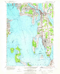
1955 Map of Bristol
USGS Topo · Published 1966About this map
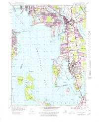
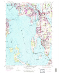
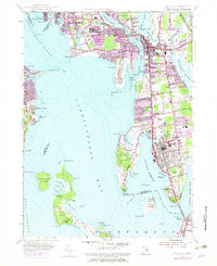
The coastal settlements of Barrington, Warren, and Bristol line the eastern shores of Narragansett Bay in this mid-century survey. The landscape is defined by the intricate waterways of the Providence River and Warren River, where the New Haven and Hartford RR once provided a vital transportation link between these maritime communities. The map highlights significant local landmarks such as the Rhode Island Country Club and St Columbans Seminary, alongside the extensive cemeteries that anchor the area's history, including North Cem and the South Burial Grounds.
Find a feature on this map
82 named features on this map. Tap any name to fly to it.
Don’t see what you’re looking for? This feature index may not catch every label — zoom into the map to look around manually.
Map Details
Editions of this 1955 Bristol Map
7 editions found
Other maps of this area

1885 · Taunton
USGS Topo · 1:62,500

1887 · Providence
USGS Topo · 1:62,500

1888 · Fall River
USGS Topo · 1:62,500

1888 · Taunton
USGS Topo · 1:62,500

1889 · Providence
USGS Topo · 1:62,500

1890 · Narragansett Bay
USGS Topo · 1:62,500

1892 · Narragansett Bay
USGS Topo · 1:62,500

1893 · Taunton
USGS Topo · 1:62,500

1893 · Fall River
USGS Topo · 1:62,500

1894 · Providence
USGS Topo · 1:62,500