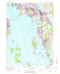
1955 Map of Bristol
USGS Topo · Published 1983About this map
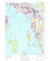
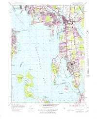
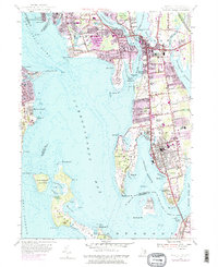
Narragansett Bay and its intricate shoreline dominate this 1955 survey, which was updated in the 1970s to show the expanding suburban reaches of Barrington, Warren, and Bristol. The map highlights the coastal geography of Rumstick Neck and Popasquash Neck, which shelter the waters of Bristol Harbor. Land use transitions from the dense urban grids of the town centers to the open spaces of Colt State Park and the Rhode Island Country Club.
Find a feature on this map
116 named features on this map. Tap any name to fly to it.
Don’t see what you’re looking for? This feature index may not catch every label — zoom into the map to look around manually.
Map Details
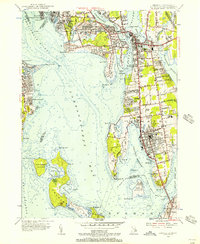
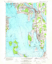
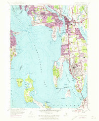
Editions of this 1955 Bristol Map
7 editions found
Other maps of this area

1885 · Taunton
USGS Topo · 1:62,500

1887 · Providence
USGS Topo · 1:62,500

1888 · Fall River
USGS Topo · 1:62,500

1888 · Taunton
USGS Topo · 1:62,500

1889 · Providence
USGS Topo · 1:62,500

1890 · Narragansett Bay
USGS Topo · 1:62,500

1892 · Narragansett Bay
USGS Topo · 1:62,500

1893 · Taunton
USGS Topo · 1:62,500

1893 · Fall River
USGS Topo · 1:62,500

1894 · Providence
USGS Topo · 1:62,500