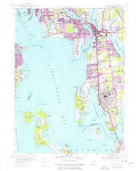
1955 Map of Bristol
USGS Topo · Published 1976About this map
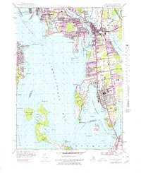
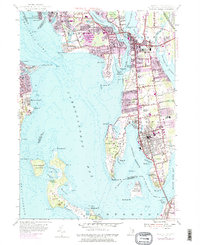
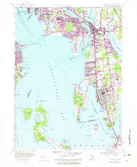
Prudence Island and Patience Island dominate the waters of Narragansett Bay in this mid-century topographic record, which highlights the maritime and suburban character of the East Bay. The towns of Barrington, Warren, and Bristol show significant post-war expansion, with purple revisions from the 1970s marking the growth of residential neighborhoods around landmarks like the Rhode Island Country Club. Along the shorelines, industrial and recreational legacies meet at Brickyard Pond and the extensive Colt State Park. Genealogists will find several notable burial sites clearly marked, including the North Cem, Juniper Hill Cem, and the South Burial Grounds. The map also captures the critical transportation links of the era, from the Mount Hope Bridge connecting to Portsmouth to the Conrail lines serving the coastal corridor.
Find a feature on this map
111 named features on this map. Tap any name to fly to it.
Don’t see what you’re looking for? This feature index may not catch every label — zoom into the map to look around manually.
Map Details
Editions of this 1955 Bristol Map
7 editions found
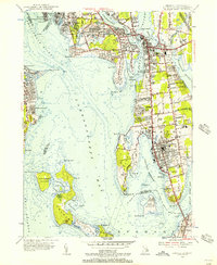
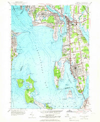
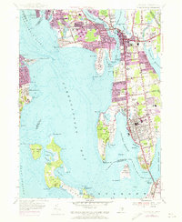
Other maps of this area

1885 · Taunton
USGS Topo · 1:62,500

1887 · Providence
USGS Topo · 1:62,500

1888 · Fall River
USGS Topo · 1:62,500

1888 · Taunton
USGS Topo · 1:62,500

1889 · Providence
USGS Topo · 1:62,500

1890 · Narragansett Bay
USGS Topo · 1:62,500

1892 · Narragansett Bay
USGS Topo · 1:62,500

1893 · Taunton
USGS Topo · 1:62,500

1893 · Fall River
USGS Topo · 1:62,500

1894 · Providence
USGS Topo · 1:62,500