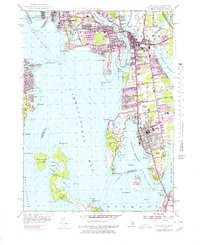
1955 Map of Bristol
USGS Topo · Published 1979About this map
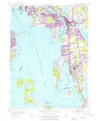
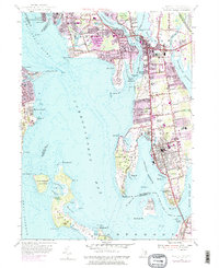
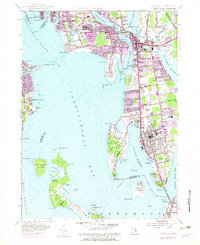
Barrington, Warren, and Bristol anchor this coastal survey, showing the intricate landscape of the Narragansett Bay waterfront during the mid-20th century. The transition from industrial roots to suburban growth is visible in the expansion of neighborhoods like West Barrington, Bay Spring, and Hampden Meadows. The shorelines are deeply articulated, from the tidal flats of Bullock Cove to the protected waters of Bristol Harbor and Potter Cove on Prudence Island.
Find a feature on this map
122 named features on this map. Tap any name to fly to it.
Don’t see what you’re looking for? This feature index may not catch every label — zoom into the map to look around manually.
Map Details
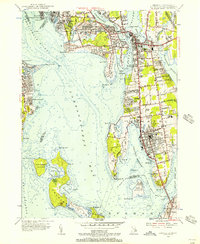
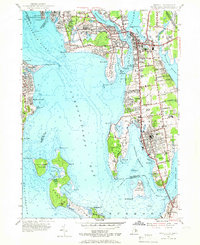
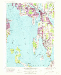
Editions of this 1955 Bristol Map
7 editions found
Other maps of this area

1885 · Taunton
USGS Topo · 1:62,500

1887 · Providence
USGS Topo · 1:62,500

1888 · Fall River
USGS Topo · 1:62,500

1888 · Taunton
USGS Topo · 1:62,500

1889 · Providence
USGS Topo · 1:62,500

1890 · Narragansett Bay
USGS Topo · 1:62,500

1892 · Narragansett Bay
USGS Topo · 1:62,500

1893 · Taunton
USGS Topo · 1:62,500

1893 · Fall River
USGS Topo · 1:62,500

1894 · Providence
USGS Topo · 1:62,500