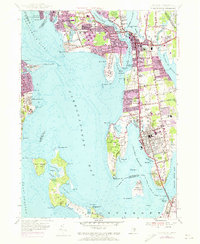
1955 Map of Bristol
USGS Topo · Published 1973About this map
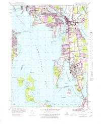
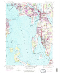
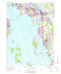
The coastal communities of Barrington, Warren, and Bristol line the eastern shores of Narragansett Bay in this mid-century portrait of Rhode Island's East Bay. This survey highlights the region's transition into a more developed suburban corridor, with purple-tinted photo-revisions from 1970 showing the expansion of residential streets like Chadwick Ave and Gooding Ave. The landscape is defined by its maritime geography, from the protected waters of Bristol Harbor and Bullock Cove to the narrow peninsulas of Rumstick Neck and New Meadow Neck. Large institutional and recreational tracts, including the Rhode Island Country Club and Colt State Park, preserve open space against the increasing density of the town centers. In the south, the Mount Hope Bridge provides a critical link over Mount Hope Bay, while the offshore reaches of Prudence Island and Patience Island remain largely characterized by natural features like Sheep Pen Swamp and Pine Hill.
Find a feature on this map
121 named features on this map. Tap any name to fly to it.
Don’t see what you’re looking for? This feature index may not catch every label — zoom into the map to look around manually.
Map Details
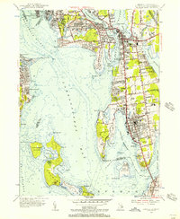
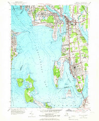
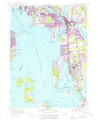
Editions of this 1955 Bristol Map
7 editions found
Other maps of this area

1885 · Taunton
USGS Topo · 1:62,500

1887 · Providence
USGS Topo · 1:62,500

1888 · Fall River
USGS Topo · 1:62,500

1888 · Taunton
USGS Topo · 1:62,500

1889 · Providence
USGS Topo · 1:62,500

1890 · Narragansett Bay
USGS Topo · 1:62,500

1892 · Narragansett Bay
USGS Topo · 1:62,500

1893 · Taunton
USGS Topo · 1:62,500

1893 · Fall River
USGS Topo · 1:62,500

1894 · Providence
USGS Topo · 1:62,500