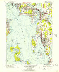
1955 Map of Bristol
USGS Topo · Published 1955About this map
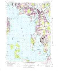
The coastal landscapes of Narragansett Bay and Mount Hope Bay define this mid-century survey of Bristol County and its neighbors. Along the eastern shore, Bristol is shown in detail, featuring its prominent waterfront at Bristol Harbor and a series of civic and religious institutions including the St Columbans Seminary and St Marys Cem. The maritime character is evident in the numerous points and coves, from Rumstick Neck to the islands of Patience Island and Prudence Island.
Find a feature on this map
110 named features on this map. Tap any name to fly to it.
Don’t see what you’re looking for? This feature index may not catch every label — zoom into the map to look around manually.
Map Details
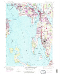
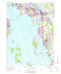
Editions of this 1955 Bristol Map
7 editions found
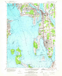
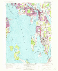
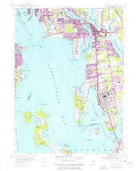
Other maps of this area

1885 · Taunton
USGS Topo · 1:62,500

1887 · Providence
USGS Topo · 1:62,500

1888 · Fall River
USGS Topo · 1:62,500

1888 · Taunton
USGS Topo · 1:62,500

1889 · Providence
USGS Topo · 1:62,500

1890 · Narragansett Bay
USGS Topo · 1:62,500

1892 · Narragansett Bay
USGS Topo · 1:62,500

1893 · Taunton
USGS Topo · 1:62,500

1893 · Fall River
USGS Topo · 1:62,500

1894 · Providence
USGS Topo · 1:62,500