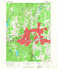
1966 Map of Bristol
USGS Topo · Published 1968About this map
The industrial and residential growth of Bristol is central to this mid-century survey, with the urban core expanding along the Pequabuck River and the New York New Haven and Hartford railroad line. Dense red tinting highlights the developed center around City Hall and the Library, while outlying neighborhoods like Forestville and Edgewood show established street grids and community hubs like St Matthews Sch and Eastern High Sch.
Find a feature on this map
92 named features on this map. Tap any name to fly to it.
Don’t see what you’re looking for? This feature index may not catch every label — zoom into the map to look around manually.
Map Details
Editions of this 1966 Bristol Map
4 editions found
Other maps of this area

1892 · Winsted
USGS Topo · 1:62,500

1892 · Meriden
USGS Topo · 1:62,500

1892 · Granby
USGS Topo · 1:62,500

1893 · Waterbury
USGS Topo · 1:62,500

1893 · Meriden
USGS Topo · 1:62,500

1904 · Waterbury
USGS Topo · 1:62,500

1904 · Litchfield
USGS Topo · 1:125,000

1906 · Farmington
USGS Topo · 1:125,000
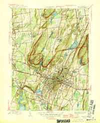
1946 · Meriden
USGS Topo · 1:31,680
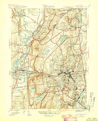
1946 · New Britain
USGS Topo · 1:31,680