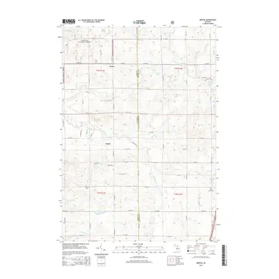
2014 Map of Bristol
USGS Topo · Published 2014About this map
Manistee National Forest covers much of the northwestern terrain in this portion of the Michigan glacial drift plains. The landscape is defined by its complex hydrography, where the Pine River and its numerous tributaries, such as Sprague Creek and Coe Creek, carve through the undulating topography. Small settlements like Bristol and Edgetts serve as local anchors, while the presence of the Bristol Cemetery and Ellsworth Cemetery offers specific points of interest for those tracing family history in Lake and Osceola Counties.
Find a feature on this map
54 named features on this map. Tap any name to fly to it.
Don’t see what you’re looking for? This feature index may not catch every label — zoom into the map to look around manually.
Map Details
Editions of this 2014 Bristol Map
This is the sole edition of this map. No revisions or reprints were ever made.
Other maps of this area

1931 · Chase NE
USGS Topo · 1:31,680

1932 · Chase NW
USGS Topo · 1:31,680

1933 · Luther SE
USGS Topo · 1:31,680

1933 · Luther SW
USGS Topo · 1:31,680

1933 · Luther NW
USGS Topo · 1:31,680

1954 · Traverse City
USGS Topo · 1:250,000

1954 · Midland
USGS Topo · 1:250,000

1957 · Cadillac South
USGS Topo · 1:62,500

1957 · Luther
USGS Topo · 1:62,500

1958 · Traverse City
USGS Topo · 1:250,000