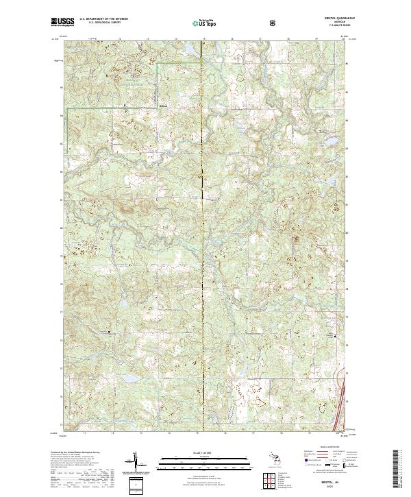
2023 Map of Bristol
USGS Topo · Published 2023About this map
The Manistee National Forest covers much of this landscape on the border of Lake and Osceola Counties, where the small community of Bristol serves as a central landmark. The area is defined by an intricate network of waterways, including the Pine River, Beaver Creek, and Silver Creek, which carve through the wooded terrain. These water sources historically supported the region's development, evidenced by the concentration of family and community landmarks such as Howe Lake, Asplund Lake, and Hewitt Lake. For those tracing local roots, several burial sites are documented across the quadrangle, including Bristol Cem, Ellsworth Cem, and LeRoy Township Cem. The southern portion of the map is marked by the winding path of the Little Manistee River, while the east features Marl Bed Lake, illustrating the varied hydrologic character of this part of northern Michigan.
Find a feature on this map
75 named features on this map. Tap any name to fly to it.
Don’t see what you’re looking for? This feature index may not catch every label — zoom into the map to look around manually.
Map Details
Editions of this 2023 Bristol Map
This is the sole edition of this map. No revisions or reprints were ever made.
Other maps of this area

1931 · Chase NE
USGS Topo · 1:31,680

1932 · Chase NW
USGS Topo · 1:31,680

1933 · Luther SE
USGS Topo · 1:31,680

1933 · Luther SW
USGS Topo · 1:31,680

1933 · Luther NW
USGS Topo · 1:31,680

1954 · Traverse City
USGS Topo · 1:250,000

1954 · Midland
USGS Topo · 1:250,000

1957 · Cadillac South
USGS Topo · 1:62,500

1957 · Luther
USGS Topo · 1:62,500

1958 · Traverse City
USGS Topo · 1:250,000