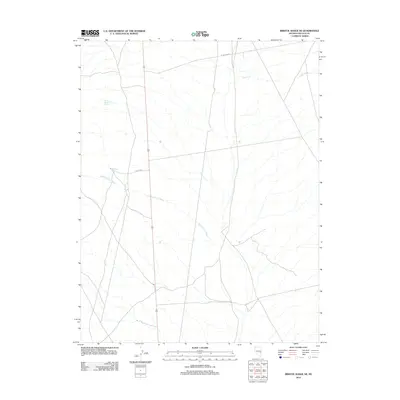
2012 Map of Bristol Range NE
USGS Topo · Published 2012About this map
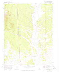
Bob Hamilton Wash carves a central path through this section of Lincoln County, defining the drainage patterns of an arid landscape where water sources were historically vital for survival and passage. The presence of isolated points like Little Rosebud Spring and Wildhorse Spring highlights the critical, scattered nature of water in the high desert of eastern Nevada. The limited road network, consisting primarily of Mt Wilson Rd and Wild Horse, suggests a remote area where infrastructure is tied closely to the natural topography. Along the eastern edge, Craw Creek provides further evidence of the seasonal or perennial watercourses that dictate the character of this terrain. This 2012 survey by the U.S. Geological Survey preserves the specific nomenclature of these landmarks in a region dominated by wide basins and range corridors.
Find a feature on this map
6 named features on this map. Tap any name to fly to it.
Don’t see what you’re looking for? This feature index may not catch every label — zoom into the map to look around manually.
Map Details
Editions of this 2012 Bristol Range NE Map
This is the sole edition of this map. No revisions or reprints were ever made.
Other maps of this area

1915 · Bristol Range
USGS Topo · 1:62,500

1917 · Bristol Range
USGS Topo · 1:62,500

1953 · Bristol Range SE
USGS Topo · 1:24,000

1956 · Lund
USGS Topo · 1:250,000

1960 · Lund
USGS Topo · 1:250,000
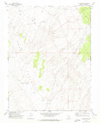
1970 · Mt. Wilson SW
USGS Topo · 1:24,000
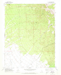
1970 · Mt. Wilson
USGS Topo · 1:24,000
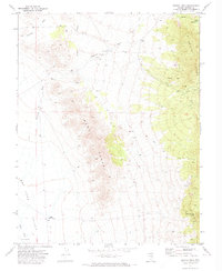
1971 · Bristol Well
USGS Topo · 1:24,000
1971 · Bristol Range NE
USGS Topo · 1:24,000
1971 · Fairview Peak
USGS Topo · 1:24,000