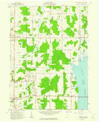
1960 Map of Bristolville
USGS Topo · Published 1962About this map
Bloomfield, Greene, and Bristol townships appear here during a period of transition, defined by the expansion of the Mosquito Creek Reservoir along the eastern boundary. The landscape is a patchwork of woodlots and agricultural fields, crisscrossed by family-named thoroughfares like Flagg East Road and Mahan Denman Road. The Pennsylvania railroad line cuts a straight north-south path through the center of the sheet, anchoring several small rural centers including Lockwood, Oakfield, and North Bristol. Genealogists will find a high density of burial sites documented, ranging from the Old Bristol Cem and Evergreen Cem in Bristolville to the smaller Latimer Cem and Norton Cem. The presence of a Landing Strip and scattered Oil Wells indicates the mix of modern utility and traditional resource extraction in this corner of Trumbull County.
Find a feature on this map
38 named features on this map. Tap any name to fly to it.
Don’t see what you’re looking for? This feature index may not catch every label — zoom into the map to look around manually.
Map Details
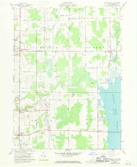
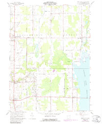
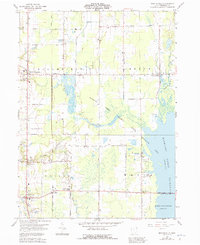
Editions of this 1960 Bristolville Map
4 editions found
Other maps of this area

1905 · Andover
USGS Topo · 1:48,000

1905 · Bristolville
USGS Topo · 1:62,500

1905 · Jefferson
USGS Topo · 1:62,500

1907 · Andover
USGS Topo · 1:62,500

1907 · Kinsman
USGS Topo · 1:62,500

1907 · Bristolville
USGS Topo · 1:62,500

1907 · Jefferson
USGS Topo · 1:62,500

1950 · Cleveland
USGS Topo · 1:250,000

1952 · West Farmington
USGS Topo · 1:24,000

1952 · Southington
USGS Topo · 1:24,000
Featured Places
- Bristol, Bristol Township
- Mecca Township, OH
- Bloomfield Township, OH
- Bloomfield, Bloomfield Township
- Greene, Greene Township