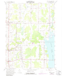
1960 Map of Bristolville
USGS Topo · Published 1988About this map
The Connecticut Western Reserve's historical legacy is etched into this Trumbull County landscape, where private land subdivisions created the grid-like road network of Bloomfield, Greene, and Bristol townships. The eastern portion of the sheet is dominated by the Mosquito Creek Reservoir and its associated Game Refuge Area, providing a distinct contrast to the agricultural and residential patterns of North Bloomfield and Bristolville. For genealogists, the map is remarkably detailed, identifying numerous burial sites including Sager Memorial Cemetery, Deacon Creek Cem, and Latimer Cem. Transportation and commerce are centered around the Penn Central rail line, which passes through the crossroad settlements of Lockwood and Spokane. From a small Landing Strip to an isolated Oil Well, the map documents a mid-century Ohio rural economy transitioning toward modern land management.
Find a feature on this map
41 named features on this map. Tap any name to fly to it.
Don’t see what you’re looking for? This feature index may not catch every label — zoom into the map to look around manually.
Map Details
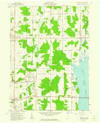
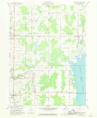
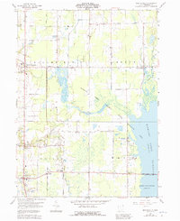
Editions of this 1960 Bristolville Map
4 editions found
Other maps of this area

1905 · Andover
USGS Topo · 1:48,000

1905 · Bristolville
USGS Topo · 1:62,500

1905 · Jefferson
USGS Topo · 1:62,500

1907 · Andover
USGS Topo · 1:62,500

1907 · Kinsman
USGS Topo · 1:62,500

1907 · Bristolville
USGS Topo · 1:62,500

1907 · Jefferson
USGS Topo · 1:62,500

1950 · Cleveland
USGS Topo · 1:250,000

1952 · West Farmington
USGS Topo · 1:24,000

1952 · Southington
USGS Topo · 1:24,000
Featured Places
- Bristol, Bristol Township
- Mecca Township, OH
- Bloomfield Township, OH
- Bloomfield, Bloomfield Township
- Greene, Greene Township