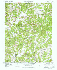
1957 Map of Bristow
USGS Topo · Published 1977About this map
Bristow sits at the confluence of the Middle Fork Anderson River and Indian Fork, serving as a central point in this late-1950s landscape of southern Indiana. The region is defined by the dense woodlands of Ferdinand State Forest and Hoosier National Forest, where steep ridges are punctuated by small rural settlements such as Siberia, Adyeville, and Apalona. Local life is anchored by family-named landmarks and rural congregations, including Fosters Ridge Ch and Oak Ridge Ch. Evidence of local industry appears along the waterways, notably the Pumping Sta and scattered Oil Wells near the Anderson River. Genealogical interest is found in numerous secluded burial grounds like Beard Cem, Lasher Cem, and Comstock Cem, which mark the lineage of families who settled the rugged terrain of Perry Co and Dubois Co.
Find a feature on this map
42 named features on this map. Tap any name to fly to it.
Don’t see what you’re looking for? This feature index may not catch every label — zoom into the map to look around manually.
Map Details
Editions of this 1957 Bristow Map
4 editions found
Other maps of this area

1900 · St Meinrad
USGS Topo · 1:62,500

1903 · St. Meinrad
USGS Topo · 1:62,500

1954 · Derby
USGS Topo · 1:24,000

1955 · Saint Anthony
USGS Topo · 1:24,000

1956 · Taswell
USGS Topo · 1:24,000

1956 · Vincennes
USGS Topo · 1:250,000

1957 · Vincennes
USGS Topo · 1:250,000

1957 · Birdseye
USGS Topo · 1:24,000
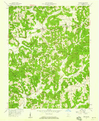
1957 · Bristow
USGS Topo · 1:24,000

1958 · Vincennes
USGS Topo · 1:250,000