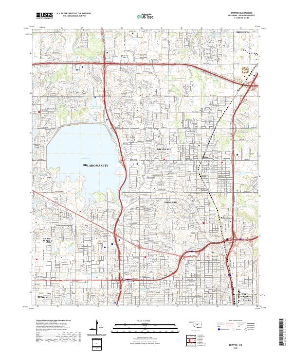
2022 Map of Britton
USGS Topo · Published 2022About this map
Oklahoma City dominates the landscape of this contemporary survey, characterized by the expansive Lake Hefner and its surrounding recreational and residential corridors. The map documents a densely developed suburban grid, capturing the distinct municipal boundaries of The Village, Nichols Hills, and Warr Acres. Significant for local history and genealogy, the sheet records several established interment sites including Hediger Cem, Britton Cem, and Rose Hill Burial Park.
Find a feature on this map
53 named features on this map. Tap any name to fly to it.
Don’t see what you’re looking for? This feature index may not catch every label — zoom into the map to look around manually.
Map Details
Editions of this 2022 Britton Map
This is the sole edition of this map. No revisions or reprints were ever made.
Other maps of this area

1892 · Moore
USGS Topo · 1:62,500

1892 · Edmond
USGS Topo · 1:62,500

1892 · Kingfisher
USGS Topo · 1:125,000

1893 · Oklahoma City
USGS Topo · 1:62,500

1895 · Kingfisher
USGS Topo · 1:125,000

1898 · Purcell
USGS Topo · 1:125,000

1904 · Chickasha
USGS Topo · 1:125,000

1934 · Crutcho Creek
USGS Topo · 1:24,000

1934 · Moore
USGS Topo · 1:62,500

1935 · Spencer
USGS Topo · 1:24,000