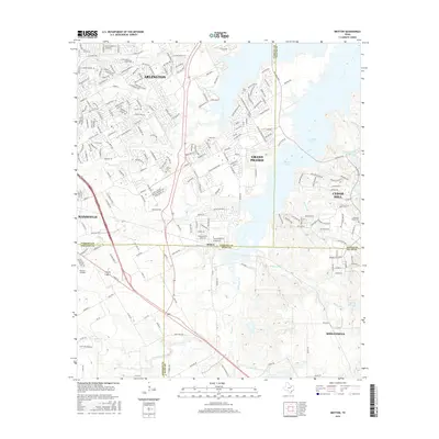
2016 Map of Britton
USGS Topo · Published 2016About this map
Joe Pool Lake dominates the eastern half of this landscape, a reservoir whose shoreline borders Grand Prairie, Cedar Hill, and portions of Mansfield. At the center of the sheet, the small settlement of Britton sits directly on the boundary between Tarrant and Ellis counties, serving as a quiet crossroads amidst the rapid northward expansion of Arlington. The area south of Britton remains largely defined by agricultural tracts and creek drainages like Mountain Creek and Soap Creek, while the northern reaches show the dense suburban development typical of the Dallas-Fort Worth Metroplex in the twenty-first century.
Find a feature on this map
46 named features on this map. Tap any name to fly to it.
Don’t see what you’re looking for? This feature index may not catch every label — zoom into the map to look around manually.
Map Details
Editions of this 2016 Britton Map
This is the sole edition of this map. No revisions or reprints were ever made.
Other maps of this area

1891 · Dallas
USGS Topo · 1:125,000

1891 · Cleburne
USGS Topo · 1:125,000

1893 · Dallas
USGS Topo · 1:125,000

1894 · Cleburne
USGS Topo · 1:125,000

1894 · Fort Worth
USGS Topo · 1:125,000

1954 · Dallas
USGS Topo · 1:250,000

1958 · Dallas
USGS Topo · 1:250,000

1959 · Kennedale
USGS Topo · 1:24,000

1959 · Arlington
USGS Topo · 1:24,000

1959 · Cedar Hill
USGS Topo · 1:24,000