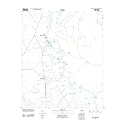
2011 Map of Brittons Neck
USGS Topo · Published 2011About this map
The Little Pee Dee River dominates this portion of Marion County, winding through a complex network of wetlands, islands, and backwater lakes. The river's historical importance as a transportation corridor is evidenced by numerous named landings, including Peters Ferry Landing, Dog Bluff Landing, and White Oak Landing, which point to a time when waterborne transit was vital for the surrounding community. On the higher ground west of the river, the settlement of Brittons Neck and the Gresham Post Office serve as focal points for local navigation and community identity.
Find a feature on this map
94 named features on this map. Tap any name to fly to it.
Don’t see what you’re looking for? This feature index may not catch every label — zoom into the map to look around manually.
Map Details
Editions of this 2011 Brittons Neck Map
This is the sole edition of this map. No revisions or reprints were ever made.
Other maps of this area

1943 · Dongola
USGS Topo · 1:24,000

1943 · Horry
USGS Topo · 1:24,000

1946 · Johnsonville
USGS Topo · 1:62,500

1947 · Friendship
USGS Topo · 1:24,000

1947 · Centenary
USGS Topo · 1:24,000

1948 · Galivants Ferry
USGS Topo · 1:24,000

1949 · Georgetown
USGS Topo · 1:250,000

1950 · Galivants Ferry
USGS Topo · 1:24,000

1953 · Florence
USGS Topo · 1:250,000

1954 · Florence
USGS Topo · 1:250,000
Featured Places
- Peters Ferry Landing, SC
- Brittons Neck, SC
- Hughes Landing, SC
- Dog Bluff Landing, SC
- Locust Tree Landing, SC