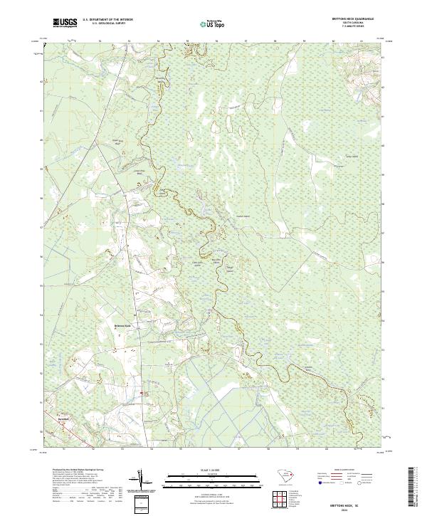
2024 Map of Brittons Neck
USGS Topo · Published 2024About this map
Brittons Neck occupies a distinct bend in the landscape where the Little Pee Dee River forms the winding boundary between Marion and Horry counties. This riverine environment is characterized by an intricate network of cypress-lined lakes and islands, including Gunter Island, Big Cane Island, and Indigo Island. The presence of Johnson Ferry along the river highlights a long-standing reliance on water-based transit in an area dominated by expansive wetlands like Brunson Swamp and Big Swamp. The terrain is marked by notable elevations such as Upper Dog Bluff and Lower Dog Bluff rising above Marsh Creek, providing natural vantage points over the low-lying alluvial plains.
Find a feature on this map
98 named features on this map. Tap any name to fly to it.
Don’t see what you’re looking for? This feature index may not catch every label — zoom into the map to look around manually.
Map Details
Editions of this 2024 Brittons Neck Map
This is the sole edition of this map. No revisions or reprints were ever made.
Other maps of this area

1943 · Dongola
USGS Topo · 1:24,000

1943 · Horry
USGS Topo · 1:24,000

1946 · Johnsonville
USGS Topo · 1:62,500

1947 · Friendship
USGS Topo · 1:24,000

1947 · Centenary
USGS Topo · 1:24,000

1948 · Galivants Ferry
USGS Topo · 1:24,000

1949 · Georgetown
USGS Topo · 1:250,000

1950 · Galivants Ferry
USGS Topo · 1:24,000

1953 · Florence
USGS Topo · 1:250,000

1954 · Florence
USGS Topo · 1:250,000
Featured Places
- Hughes Landing, SC
- Peters Ferry Landing, SC
- Dog Bluff Landing, SC
- Brittons Neck, SC
- Locust Tree Landing, SC