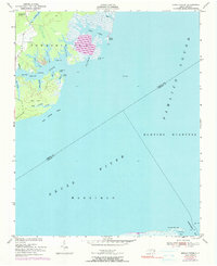
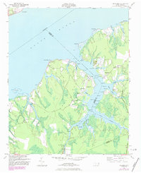
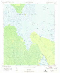
1951 Map of Broad Creek
USGS Topo · Published 1990About this map
Hunting Quarters and the vast expanse of the Neuse River define this coastal landscape at the junction of Pamlico and Carteret Counties. The map documents a sparsely settled maritime environment where small communities like Alice and the sites of the Florence Sch and Zion Hill Ch represent the primary inland landmarks. The intricate shoreline of Broad Creek is punctuated by numerous family-named points and minor inlets, including Burton Creek, Putman Creek, and Green Creek.
Find a feature on this map
38 named features on this map. Tap any name to fly to it.
Don’t see what you’re looking for? This feature index may not catch every label — zoom into the map to look around manually.
Map Details
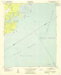
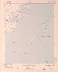
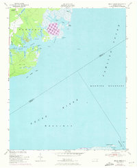
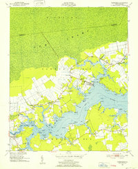
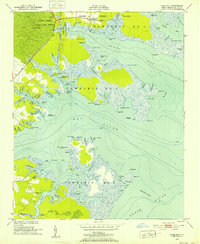
Editions of this 1951 Broad Creek Map
4 editions found
Other maps of this area
1948 · Oriental
USGS Topo · 1:24,000
1949 · Point Of Marsh
USGS Topo · 1:24,000
1949 · Long Bay
USGS Topo · 1:24,000
1949 · Merrimon
USGS Topo · 1:24,000

1949 · South River
USGS Topo · 1:24,000
1950 · Long Bay
USGS Topo · 1:24,000

1950 · South River
USGS Topo · 1:24,000

1950 · Point Of Marsh
USGS Topo · 1:24,000
1950 · Vandemere
USGS Topo · 1:24,000
1950 · Jones Bay
USGS Topo · 1:24,000