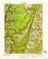
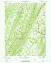
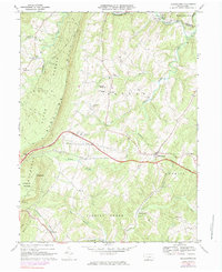
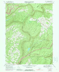
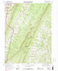
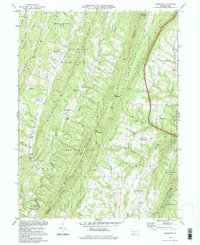
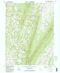
1930 Map of Broad Top
USGS Topo · Published 1958This historical map portrays the area of Broad Top in 1930, primarily covering Fulton County as well as portions of Bedford County and Huntingdon County. Featuring a scale of 1:62500, this map provides a highly detailed snapshot of the terrain, roads, buildings, counties, and historical landmarks in the Broad Top region at the time. Published in 1958, it is one of 2 known editions of this map due to revisions or reprints.
Find a feature on this map
117 named features on this map. Tap any name to fly to it.
Don’t see what you’re looking for? This feature index may not catch every label — zoom into the map to look around manually.
Map Details
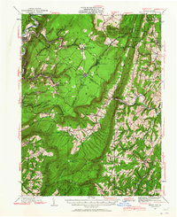
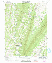
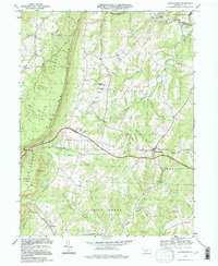
Editions of this 1930 Broad Top Map
2 editions found
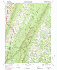
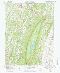
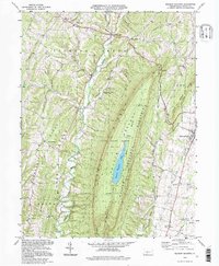
Historical Maps of Robertsdale Through Time
14 maps found
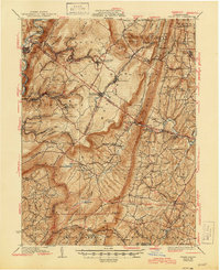
1930 Broad Top
Fulton County, PA
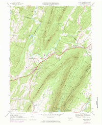
1933 Broad Top
Fulton County, PA
1966 Burnt Cabins
Fulton County, PA
1967 Amaranth
Fulton County, PA
1967 Big Cove Tannery
Fulton County, PA
1967 Breezewood
Fulton County, PA
1967 Meadow Grounds
Fulton County, PA
1968 Hustontown
Fulton County, PA
1968 Wells Tannery
Fulton County, PA
1969 Breezewood
Fulton County, PA
1994 Amaranth
Fulton County, PA
1994 Big Cove Tannery
Fulton County, PA
1994 Hustontown
Fulton County, PA
1994 Meadow Grounds
Fulton County, PA