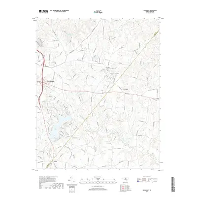
2019 Map of Broadway
USGS Topo · Published 2019About this map
Sanford and the town of Broadway anchor this portion of the North Carolina interior, where the landscape transitions across the Lee and Harnett County line. The map reveals a sophisticated water management and residential network, centered around Lake Trace and the City Water Works Lake. This 2019 survey documents the modern suburban and rural patterns established along historic transit corridors like Avents Ferry Rd and Broadway Rd. Notable landmarks like the Barbecue Church Rd and the Upper Little River drainage system highlight the intersection of long-standing community sites with the natural topography. Smaller named settlements including Seminole, Swann, and Ryes illustrate the persistence of local place names amidst the expanding footprint of the region's larger population centers.
Find a feature on this map
135 named features on this map. Tap any name to fly to it.
Don’t see what you’re looking for? This feature index may not catch every label — zoom into the map to look around manually.
Map Details
Editions of this 2019 Broadway Map
This is the sole edition of this map. No revisions or reprints were ever made.
Other maps of this area

1953 · Raleigh
USGS Topo · 1:250,000

1954 · Raleigh
USGS Topo · 1:250,000

1956 · Anderson Creek
USGS Topo · 1:24,000

1957 · Murchisontown
USGS Topo · 1:24,000
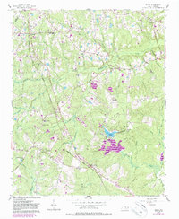
1957 · Olivia
USGS Topo · 1:24,000

1970 · Colon
USGS Topo · 1:24,000

1970 · Moncure
USGS Topo · 1:24,000

1974 · Mamers
USGS Topo · 1:24,000
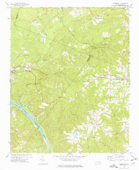
1974 · Cokesbury
USGS Topo · 1:24,000

1974 · Sanford
USGS Topo · 1:24,000