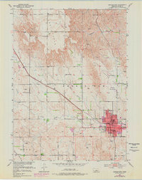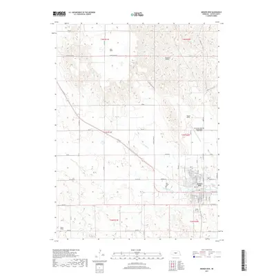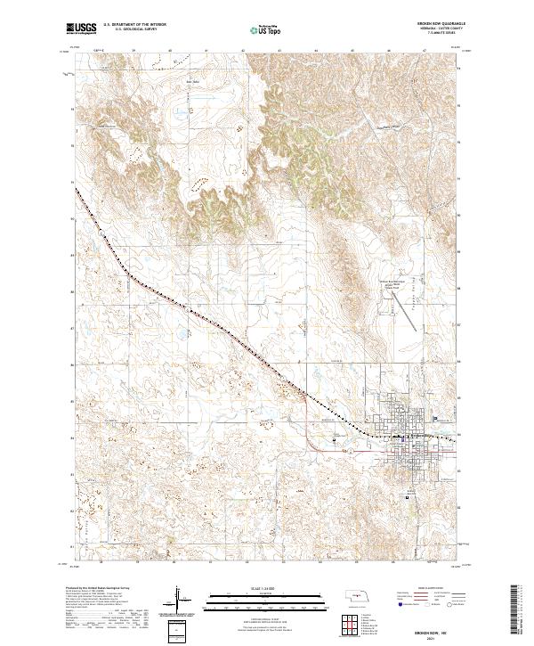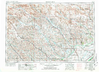
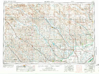
1955 Map of Broken Bow
USGS Topo · Published 1973About this map
The Sand Hills of central Nebraska dominate this mid-century landscape, where the braided channels of the Middle Loup River and North Loup River carve through the dunes and valleys. The settlement pattern follows these lifelines of water and rail, with towns like Broken Bow and Ord serving as agricultural hubs for the surrounding ranchlands. The presence of Fort Hartsuff State Historical Park near Elyria anchors the region’s frontier history, while the vast Redern Table and several valleys like Ortelo Valley and Ryno Valley define the distinct topography between the rivers. This map illustrates a transition from the intensive rail-dependent economy of the Union Pacific and Burlington Northern corridors to the open, sparsely populated grazing lands to the north. Smaller communities like Brewster and Taylor stand as outposts at the edge of the dunes, while more established centers like St Paul and Loup City anchor the southern river valleys.
Find a feature on this map
122 named features on this map. Tap any name to fly to it.
Don’t see what you’re looking for? This feature index may not catch every label — zoom into the map to look around manually.
Map Details
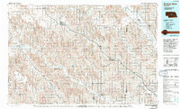
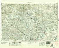
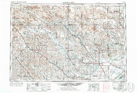
Editions of this 1955 Broken Bow Map
5 editions found

Historical Maps of Broken Bow Through Time
8 maps found