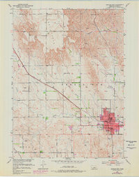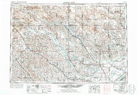
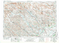
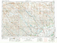
1955 Map of Broken Bow
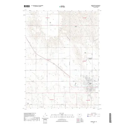
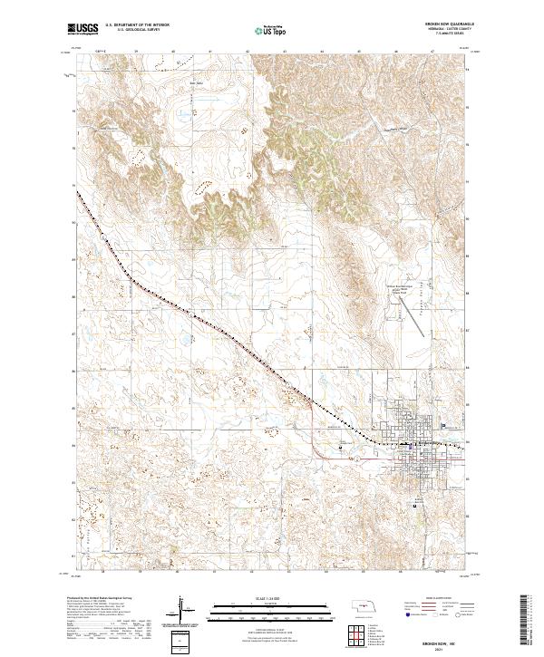
USGS Topo · Published 1986About this map
The Sand Hills dominate the northern landscape of this mid-century survey, where the rolling Nebraska terrain transitions into the river valleys that defined the region's development. Centered on Broken Bow, the map details a vast network of waterways including the Middle Loup River, North Loup River, and South Loup River, which served as the primary corridors for early settlement and infrastructure. Small agricultural hubs like Loup City, Burwell, and Central City are situated along these riverbanks, often connected by the Burlington Northern and Union Pacific rail lines.
Find a feature on this map
98 named features on this map. Tap any name to fly to it.
Don’t see what you’re looking for? This feature index may not catch every label — zoom into the map to look around manually.
Map Details
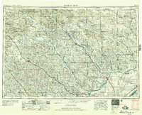
Editions of this 1955 Broken Bow Map
5 editions found

Historical Maps of Broken Bow Through Time
8 maps found