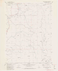
1982 Map of Broken Rib Mtn
USGS Topo · Published 1982About this map
Randolph Collier Tunnel and the Hazel View Summit anchor the northwestern portion of this 1982 map, marking a critical transit point where the road passes through the mountains near the Oregon-California border. This survey captures a remote intersection of administrative boundaries and wilderness, where the Six Rivers National Forest, Siskiyou National Forest, and Klamath National Forest converge. The landscape is defined by the high-elevation drainages of the Middle Fork Smith River and Elk Creek. Notable for local history and resource extraction research, the map identifies a specific mine and prospect near Chicago Creek, alongside high-country locations like Camp Chicago (Site) and Stevens Camp. The terrain features several named peaks, including Broken Rib Mountain and Wounded Knee Mountain, providing a detailed look at the trail networks and 4WD roads used for forest management and backcountry access in the early 1980s.
Find a feature on this map
53 named features on this map. Tap any name to fly to it.
Don’t see what you’re looking for? This feature index may not catch every label — zoom into the map to look around manually.
Map Details
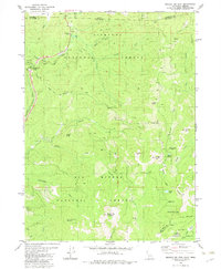
Editions of this 1982 Broken Rib Mtn Map
2 editions found
Other maps of this area

1917 · Kerby
USGS Topo · 1:125,000

1918 · Kerby
USGS Topo · 1:125,000

1922 · Preston Peak
USGS Topo · 1:125,000

1945 · Kerby
USGS Topo · 1:125,000

1945 · Gasquet
USGS Topo · 1:62,500

1948 · Weed
USGS Topo · 1:250,000

1950 · Weed
USGS Topo · 1:250,000

1951 · Gasquet
USGS Topo · 1:62,500

1954 · Cave Junction
USGS Topo · 1:62,500

1954 · Chetco Peak
USGS Topo · 1:62,500