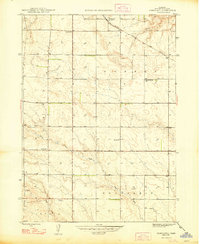
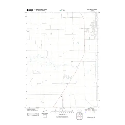
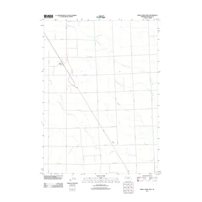
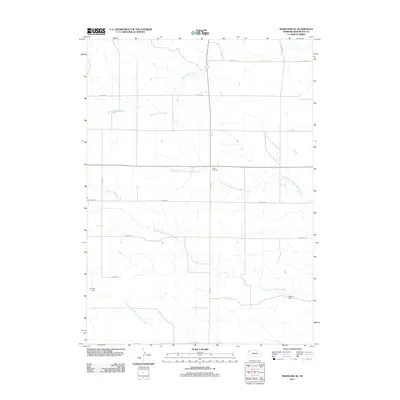
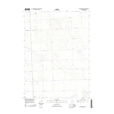
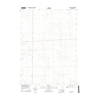
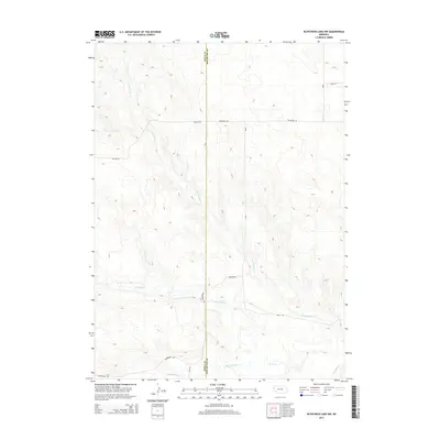
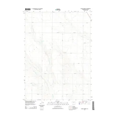
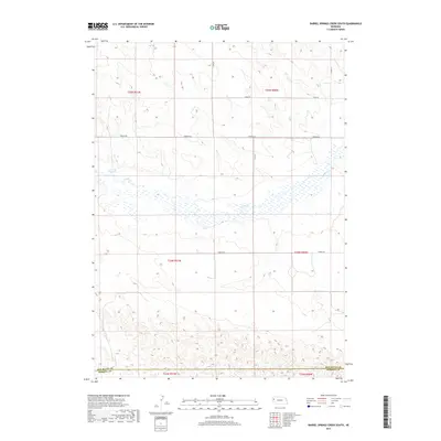
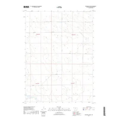
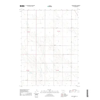
1949 Map of Bronco Lake
USGS Topo · Published 1949About this map
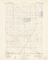
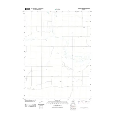
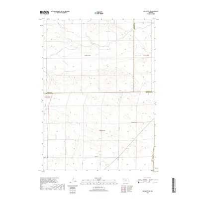
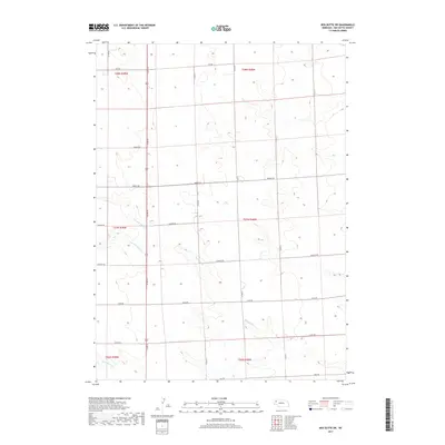
The western edge of Alliance serves as the focal point for this 1940s western Nebraska landscape, where the high plains meet early suburban and agricultural infrastructure. The topography is defined by the winding course of Snake Creek and the notable catchment of Bronco Lake. Education was decentralized at this time, evidenced by the presence of School No 11 and School No 1 serving rural districts, alongside the Letan Sch further south. The Chicago Burlington and Quincy railroad cuts a diagonal path across the terrain, illustrating the vital role of rail transport in connecting the Panhandle's cattle and crop centers. Near the town edge, St Josephs Hospital and the Alliance Country Club mark the expansion of community services and social life. The southern boundary of the map follows the Box Butte Co Morrill Co line, transitioning into the Letan area.
Find a feature on this map
16 named features on this map. Tap any name to fly to it.
Don’t see what you’re looking for? This feature index may not catch every label — zoom into the map to look around manually.
Map Details
Editions of this 1949 Bronco Lake Map
2 editions found
Historical Maps of Alliance Through Time
92 maps found

1946 Berea Creek East
Box Butte County, NE

1946 Nonpareil
Box Butte County, NE

1947 Alliance East
Box Butte County, NE

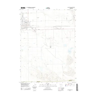
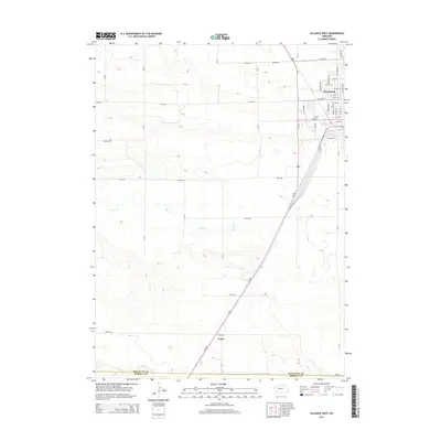
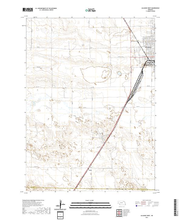
1947 Alliance West
Box Butte County, NE

1947 Box Butte
Box Butte County, NE
1947 Box Butte NE
Box Butte County, NE
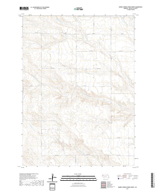
1948 Barrel Springs Creek North
Box Butte County, NE
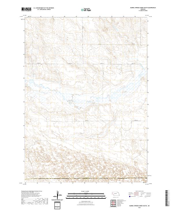
1948 Barrel Springs Creek South
Box Butte County, NE

1948 Berea Creek East
Box Butte County, NE

1948 Berea Creek West
Box Butte County, NE

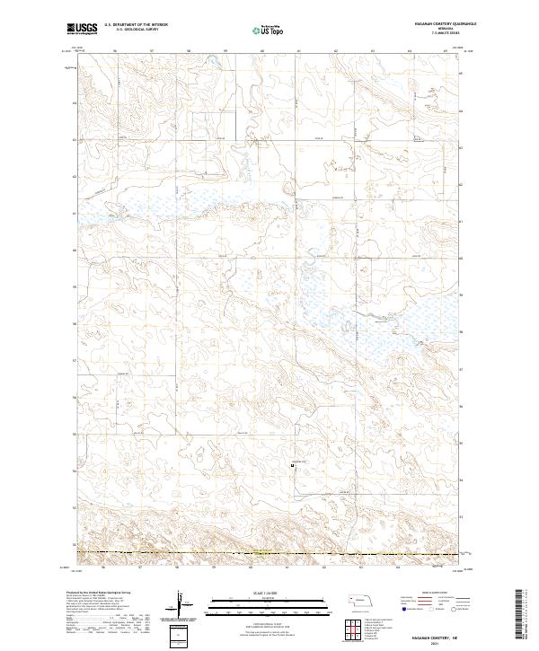
1948 Hagaman Cemetery
Box Butte County, NE
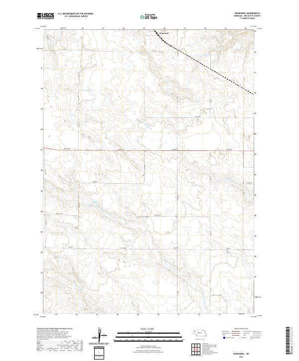
1948 Nonpareil
Box Butte County, NE
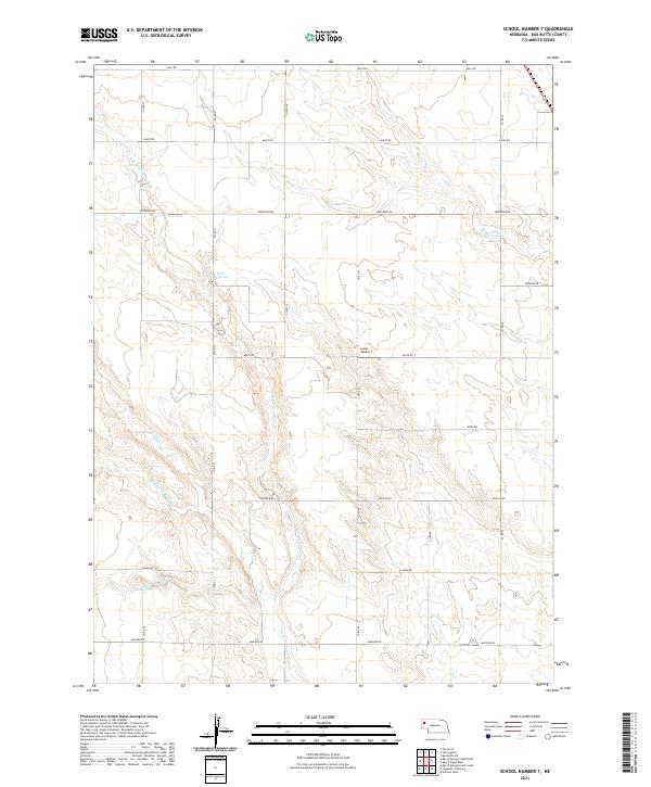
1948 School No. 7
Box Butte County, NE

1949 Box Butte
Box Butte County, NE

1949 Box Butte NE
Box Butte County, NE
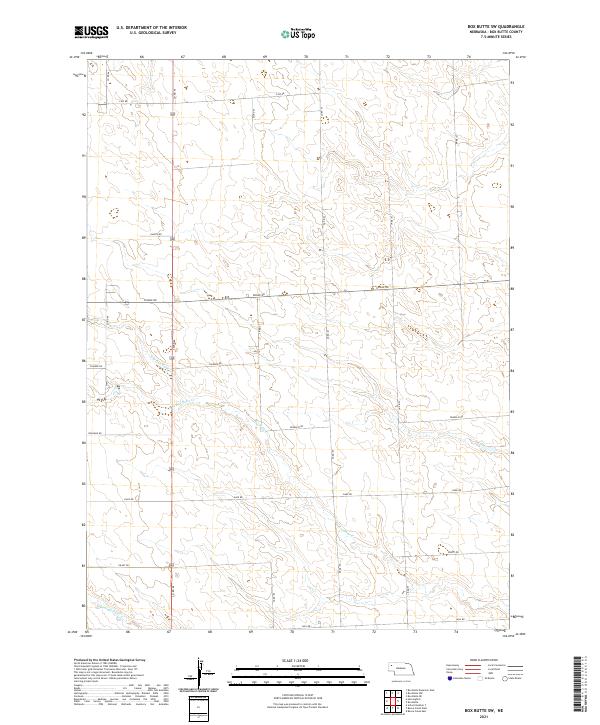
1949 Box Butte SW
Box Butte County, NE

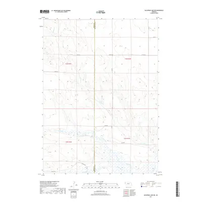
1949 Bronco Lake
Box Butte County, NE

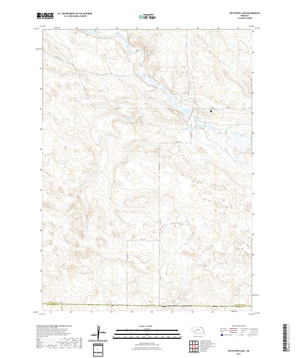
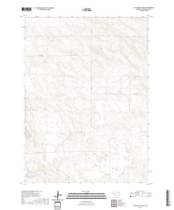
1951 Kilpatrick Lake
Box Butte County, NE

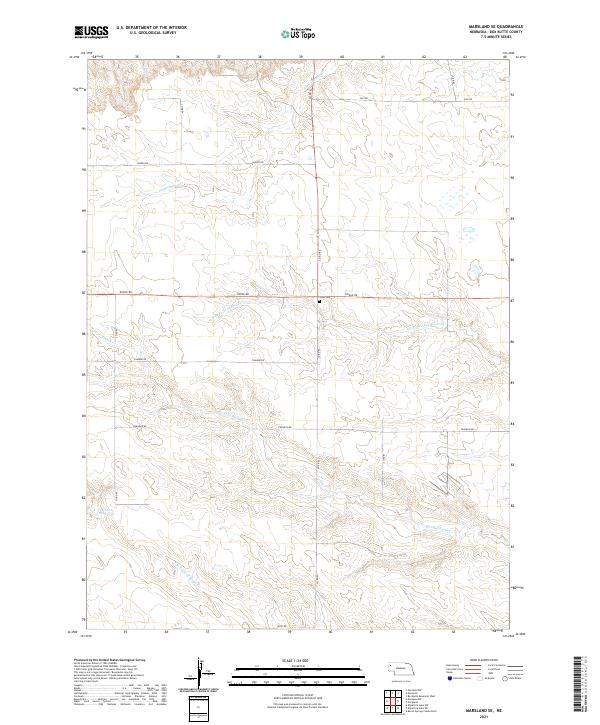
1951 Marsland
Box Butte County, NE

1983 Kilpatrick Lake
Box Butte County, NE

1983 Kilpatrick Lake NE
Box Butte County, NE

1983 Kilpatrick Lake NW
Box Butte County, NE

1983 Marsland SE
Box Butte County, NE

1983 Marsland SW
Box Butte County, NE
2011 Alliance East
Box Butte County, NE
2011 Alliance West
Box Butte County, NE
2011 Barrel Springs Creek North
Box Butte County, NE
2011 Barrel Springs Creek South
Box Butte County, NE
2011 Berea Creek East
Box Butte County, NE
2011 Berea Creek West
Box Butte County, NE
2011 Box Butte
Box Butte County, NE
2011 Box Butte NE
Box Butte County, NE
2011 Box Butte SW
Box Butte County, NE
2011 Hagaman Cemetery
Box Butte County, NE
2011 Kilpatrick Lake
Box Butte County, NE
2011 Kilpatrick Lake NE
Box Butte County, NE
2011 Kilpatrick Lake NW
Box Butte County, NE
2011 Marsland SE
Box Butte County, NE
2011 Marsland SW
Box Butte County, NE
2011 Nonpareil
Box Butte County, NE
2011 School Number 7
Box Butte County, NE
2014 Alliance East
Box Butte County, NE
2014 Alliance West
Box Butte County, NE
2014 Barrel Springs Creek North
Box Butte County, NE
2014 Barrel Springs Creek South
Box Butte County, NE
2014 Berea Creek East
Box Butte County, NE
2014 Berea Creek West
Box Butte County, NE
2014 Box Butte
Box Butte County, NE
2014 Box Butte NE
Box Butte County, NE
2014 Box Butte SW
Box Butte County, NE
2014 Hagaman Cemetery
Box Butte County, NE
2014 Kilpatrick Lake
Box Butte County, NE
2014 Kilpatrick Lake NE
Box Butte County, NE
2014 Kilpatrick Lake NW
Box Butte County, NE
2014 Marsland SE
Box Butte County, NE
2014 Marsland SW
Box Butte County, NE
2014 Nonpareil
Box Butte County, NE
2014 School Number 7
Box Butte County, NE
2017 Alliance East
Box Butte County, NE
2017 Alliance West
Box Butte County, NE
2017 Barrel Springs Creek North
Box Butte County, NE
2017 Barrel Springs Creek South
Box Butte County, NE
2017 Berea Creek East
Box Butte County, NE
2017 Berea Creek West
Box Butte County, NE
2017 Box Butte
Box Butte County, NE
2017 Box Butte NE
Box Butte County, NE
2017 Box Butte SW
Box Butte County, NE
2017 Hagaman Cemetery
Box Butte County, NE
2017 Kilpatrick Lake
Box Butte County, NE
2017 Kilpatrick Lake NE
Box Butte County, NE
2017 Kilpatrick Lake NW
Box Butte County, NE

2017 Marsland SE
Box Butte County, NE
2017 Marsland SW
Box Butte County, NE
2017 Nonpareil
Box Butte County, NE
2017 School Number 7
Box Butte County, NE

2021 Alliance East
Box Butte County, NE
2021 Alliance West
Box Butte County, NE
2021 Barrel Springs Creek North
Box Butte County, NE
2021 Barrel Springs Creek South
Box Butte County, NE

2021 Berea Creek East
Box Butte County, NE

2021 Berea Creek West
Box Butte County, NE
2021 Box Butte
Box Butte County, NE

2021 Box Butte NE
Box Butte County, NE
2021 Box Butte SW
Box Butte County, NE
2021 Hagaman Cemetery
Box Butte County, NE
2021 Kilpatrick Lake
Box Butte County, NE
2021 Kilpatrick Lake NE
Box Butte County, NE

2021 Kilpatrick Lake NW
Box Butte County, NE
2021 Marsland SE
Box Butte County, NE

2021 Marsland SW
Box Butte County, NE
2021 Nonpareil
Box Butte County, NE
2021 School Number 7
Box Butte County, NE