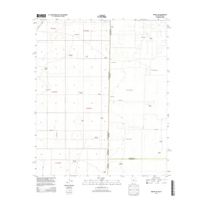
2013 Map of Bronco NE
USGS Topo · Published 2013About this map
The High Plains along the New Mexico-Texas border are defined by a network of ranching and energy infrastructure. Established sites like Standefer Ranch and Gilliam Ranch anchor the landscape, while the industrial footprint of the Buckshot Oil Field and Walker Oil Field highlights the region's petroleum economy. This area is notably dependent on groundwater, evidenced by a high density of named water sources such as Prairie Chicken Windmill, Pardnership Windmill, and Davis Windmill.
Find a feature on this map
37 named features on this map. Tap any name to fly to it.
Don’t see what you’re looking for? This feature index may not catch every label — zoom into the map to look around manually.
Map Details
Editions of this 2013 Bronco NE Map
This is the sole edition of this map. No revisions or reprints were ever made.
Other maps of this area

1954 · Brownfield
USGS Topo · 1:250,000

1958 · Brownfield
USGS Topo · 1:250,000

1962 · Brownfield
USGS Topo · 1:250,000

1970 · Bronco NE
USGS Topo · 1:24,000

1970 · Walking Cane Ranch
USGS Topo · 1:24,000

1970 · Gladiola
USGS Topo · 1:24,000

1970 · Bronco
USGS Topo · 1:24,000

1970 · Bledsoe
USGS Topo · 1:24,000

1970 · Morton SW
USGS Topo · 1:24,000
1971 · Two B Ranch NW
USGS Topo · 1:24,000