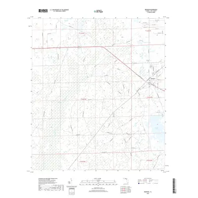
2018 Map of Bronson
USGS Topo · Published 2018About this map
Bronson serves as the focal point of this Levy County landscape, situated near the headwaters of the Waccasassa River. The town's grid is well-established, featuring the Bronson Cem and a central Po near the intersection of several regional thoroughfares. To the west, the terrain shifts into the dense wetlands of Devils Hammock, a name that suggests the challenging nature of the local environment before modern drainage and road improvements. Scattered throughout this low-lying area are several significant water bodies, including Tom Pond to the north and the localized Blue Springs. In the southeastern portion of the quadrangle, Chunky Pond stands out as a major hydrological feature within the flatwoods. The map reveals a transition from the structured residential streets of the town to the long, straight grades of rural roads such as NE Andrews Grade that cut through the surrounding marsh and timberland.
Find a feature on this map
76 named features on this map. Tap any name to fly to it.
Don’t see what you’re looking for? This feature index may not catch every label — zoom into the map to look around manually.
Map Details
Editions of this 2018 Bronson Map
This is the sole edition of this map. No revisions or reprints were ever made.
Other maps of this area

1954 · Chiefland
USGS Topo · 1:24,000

1954 · Otter Creek
USGS Topo · 1:24,000

1954 · Bronson
USGS Topo · 1:24,000

1954 · Bronson SW
USGS Topo · 1:24,000

1954 · Gainesville
USGS Topo · 1:250,000

1955 · Bronson NE
USGS Topo · 1:24,000

1955 · Bronson SE
USGS Topo · 1:24,000
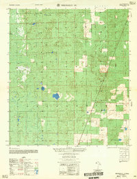
1957 · Bronson SE
USGS Topo · 1:25,000

1958 · Gainesville
USGS Topo · 1:250,000

1959 · Gainesville
USGS Topo · 1:250,000